Bachajón night lights from space
Night Light of Bachajón (Chiapas) from space (Mexico) Src. Average luminocity for 10x10km area is 2.9697% and for 50x50km: 2.2297%.
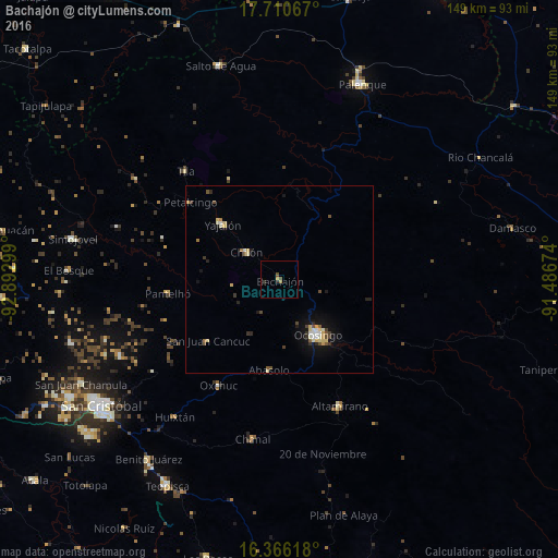
Analysis of Bachajón night lights 2016
Square area 10x10 km:
 0%
0%90-99
0%80-89
0%70-79
0.87%60-69
0.87%50-59
1.3%40-49
0.43%30-39
0.87%20-29
0.87%10-19
0%0-9
94.81%Square area 50x50 km:
0.16%90-99
0.35%80-89
0.45%70-79
0.2%60-69
0.19%50-59
0.22%40-49
0.44%30-39
0.36%20-29
0.35%10-19
1.34%0-9
95.94%Clear (daylight) street map image can be seen on geolist.org.
Map coordinates:
17° 42' 38.4" North, 92° 53' 34.8" West
17° 2' 22.7" North, 92° 11' 23.5" West
16° 21' 58.2" North, 91° 29' 12.3" West
Some cities around Bachajón sort by population:
• Ocosingo
18 km =11.2 mi,  145°
145°
• Yajalón
21.2 km =13.2 mi,  314°
314°
• Chilón
11.5 km =7.1 mi, 309°
• Pantelhó
30.2 km =18.8 mi,  262°
262°
• Petalcingo
31.7 km =19.7 mi, 311°
• Altamirano
17.9 km =11.1 mi,  166°
166°
• San Juan Cancuc
25.2 km =15.7 mi,  229°
229°
• Chilón
32.3 km =20.1 mi, 311°
3532462 (p: 5,063)
Sources (retrieved 2019-11-25):
» Earth at Night: Flat Maps 2012, 2016