Tierra Blanca night lights from space
Night Light of Tierra Blanca (Veracruz) from space (Mexico) Src. Average luminocity for 10x10km area is 29.7417% and for 50x50km: 3.5779%.
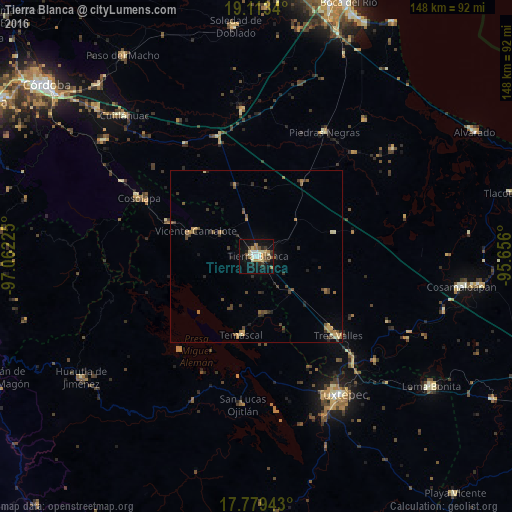
Analysis of Tierra Blanca night lights 2016
Square area 10x10 km:
 4.13%
4.13%90-99
3.93%80-89
5.99%70-79
3.1%60-69
4.75%50-59
2.69%40-49
3.72%30-39
3.51%20-29
4.96%10-19
27.48%0-9
35.74%Square area 50x50 km:
0.16%90-99
0.28%80-89
0.37%70-79
0.56%60-69
0.66%50-59
0.57%40-49
0.92%30-39
0.88%20-29
0.74%10-19
1.41%0-9
93.46%Clear (daylight) street map image can be seen on geolist.org.
Map coordinates:
19° 6' 48.2" North, 97° 3' 44.1" West
18° 26' 51.8" North, 96° 21' 32.8" West
17° 46' 45.9" North, 95° 39' 21.6" West
Some cities around Tierra Blanca sort by population:
• La Isla
27.8 km =17.3 mi,  52°
52°
• Tres Valles
33.1 km =20.6 mi,  134°
134°
• Cosolapa
38.4 km =23.9 mi,  296°
296°
• Isla Soyaltepec
30.4 km =18.9 mi,  205°
205°
• Vicente Camalote
19.4 km =12.1 mi,  292°
292°
• Temascal
23.2 km =14.4 mi,  191°
191°
• Acatlán de Pérez Figueroa
27.9 km =17.3 mi, 291°
• Tezonapa
38.6 km =24 mi, 297°
3801276 (p: 47,824)
Sources (retrieved 2019-11-25):
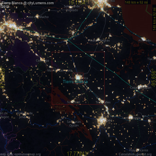
» Earth at Night: Flat Maps 2012, 2016