Acatlán de Pérez Figueroa night lights from space
Night Light of Acatlán de Pérez Figueroa (Oaxaca) from space (Mexico) Src. Average luminocity for 10x10km area is 3.7087% and for 50x50km: 2.4547%.
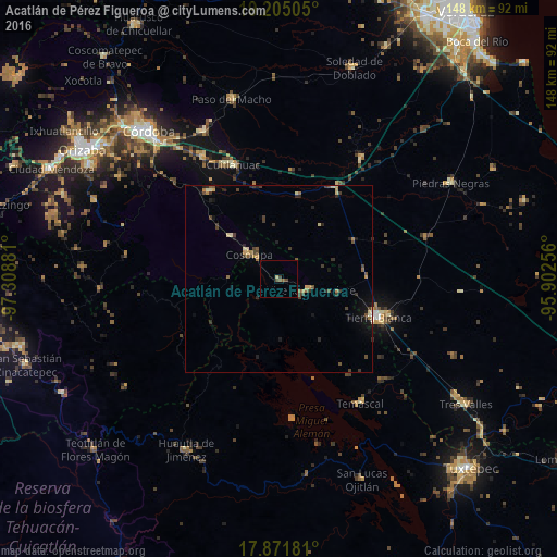
Analysis of Acatlán de Pérez Figueroa night lights 2016
Square area 10x10 km:
 0%
0%90-99
0%80-89
0.83%70-79
0%60-69
0%50-59
1.86%40-49
1.65%30-39
0.83%20-29
0%10-19
0%0-9
94.83%Square area 50x50 km:
0.03%90-99
0.15%80-89
0.37%70-79
0.28%60-69
0.32%50-59
0.41%40-49
0.77%30-39
0.61%20-29
0.75%10-19
0.72%0-9
95.6%Clear (daylight) street map image can be seen on geolist.org.
Map coordinates:
19° 12' 18.2" North, 97° 18' 31.7" West
18° 32' 23" North, 96° 36' 20.4" West
17° 52' 18.5" North, 95° 54' 9.2" West
Some cities around Acatlán de Pérez Figueroa sort by population:
• Tierra Blanca
27.9 km =17.3 mi,  111°
111°
• Cuitláhuac
32.9 km =20.4 mi,  337°
337°
• Cosolapa
10.8 km =6.7 mi,  308°
308°
• Isla Soyaltepec
39.8 km =24.7 mi,  161°
161°
• Vicente Camalote
8.5 km =5.3 mi, 109°
• Temascal
39.4 km =24.5 mi,  146°
146°
• Yanga
38.4 km =23.9 mi,  328°
328°
• Tezonapa
11.2 km =7 mi, 312°
3533439 (p: 6,040)
Sources (retrieved 2019-11-25):
» Earth at Night: Flat Maps 2012, 2016