La Isla night lights from space
Night Light of La Isla (Veracruz) from space (Mexico) Src. Average luminocity for 10x10km area is 0.062% and for 50x50km: 2.6436%.
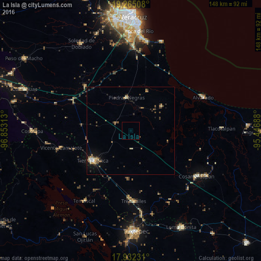
Analysis of La Isla night lights 2016
Square area 10x10 km:
 0%
0%90-99
0%80-89
0%70-79
0%60-69
0%50-59
0%40-49
0%30-39
0%20-29
0%10-19
0%0-9
100%Square area 50x50 km:
0.16%90-99
0.28%80-89
0.33%70-79
0.34%60-69
0.48%50-59
0.32%40-49
0.35%30-39
0.75%20-29
0.72%10-19
1.34%0-9
94.92%Clear (daylight) street map image can be seen on geolist.org.
Map coordinates:
19° 15' 54.3" North, 96° 51' 11.3" West
18° 36' 0" North, 96° 9' 0" West
17° 55' 56.3" North, 95° 26' 48.8" West
Some cities around La Isla sort by population:
• Tierra Blanca
27.8 km =17.3 mi,  232°
232°
• Cosamaloapan
45.2 km =28.1 mi,  124°
124°
• Alvarado
45.1 km =28 mi,  65°
65°
• Tres Valles
40.2 km =25 mi,  177°
177°
• Piedras Negras
19.1 km =11.9 mi,  353°
353°
• Vicente Camalote
41.1 km =25.5 mi,  256°
256°
• Temascal
47.8 km =29.7 mi,  213°
213°
• Paso del Toro
48.4 km =30.1 mi,  1°
1°
3525596 (p: 24,558)
Sources (retrieved 2019-11-25):
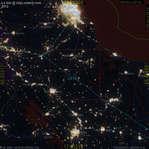
» Earth at Night: Flat Maps 2012, 2016