Texcoco de Mora night lights from space
Night Light of Texcoco de Mora (México) from space (Mexico) Src. Average luminocity for 10x10km area is 88.3822% and for 50x50km: 63.4652%.
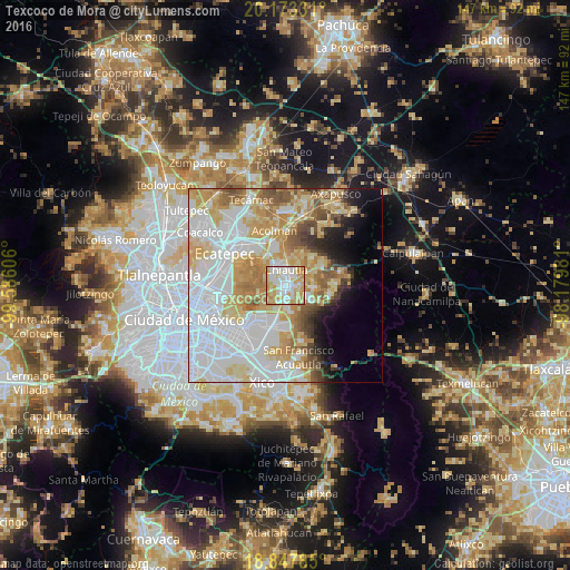
Analysis of Texcoco de Mora night lights 2016
Square area 10x10 km:
 24.79%
90-99
23.97%80-89
23.76%70-79
25%60-69
2.48%50-59
0%40-49
0%30-39
0%20-29
0%10-19
0%0-9
0%Square area 50x50 km:
23.76%90-99
11.4%80-89
11.47%70-79
10.32%60-69
7.1%50-59
4.61%40-49
3.59%30-39
2.18%20-29
2.99%10-19
4.78%0-9
17.82%Clear (daylight) street map image can be seen on geolist.org.
Map coordinates:
20° 10' 23.9" North, 99° 35' 9.8" West
19° 30' 43" North, 98° 52' 58.5" West
18° 50' 52.3" North, 98° 10' 47.3" West
Some cities around Texcoco de Mora sort by population:
• Chiconcuac
5.5 km =3.4 mi,  342°
342°
• San Salvador Atenco
5.8 km =3.6 mi,  319°
319°
• Tulantongo
2.4 km =1.5 mi,  21°
21°
• Chiautla
4.1 km =2.5 mi,  0°
0°
• San Joaquín Coapango
6.6 km =4.1 mi,  61°
61°
• San Bernardino
4.2 km =2.6 mi,  199°
199°
• La Pastoría
4.5 km =2.8 mi, 319°
• Xocotlán
3.9 km =2.4 mi,  82°
82°
3515715 (p: 105,165)
Sources (retrieved 2019-11-25):
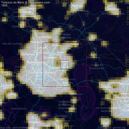
» NASA, Earths city lights 1995
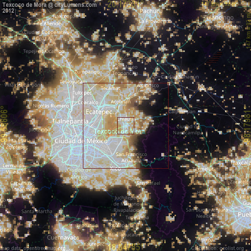
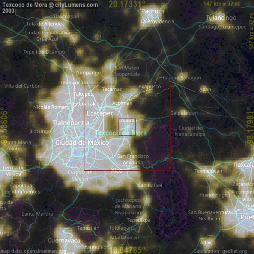
» NASA city lights 2003
» Earth at Night: Flat Maps 2012, 2016