Chiconcuac night lights from space
Night Light of Chiconcuac (México) from space (Mexico) Src. Average luminocity for 10x10km area is 87.0744% and for 50x50km: 64.2639%.
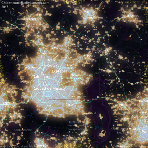
Analysis of Chiconcuac night lights 2016
Square area 10x10 km:
 21.49%
90-99
24.38%80-89
25.62%70-79
20.66%60-69
6.82%50-59
1.03%40-49
0%30-39
0%20-29
0%10-19
0%0-9
0%Square area 50x50 km:
22.37%90-99
10.39%80-89
11.86%70-79
11.61%60-69
8.54%50-59
5.17%40-49
4.03%30-39
2.35%20-29
4.18%10-19
6.12%0-9
13.39%Clear (daylight) street map image can be seen on geolist.org.
Map coordinates:
20° 13' 14.1" North, 99° 36' 7.1" West
19° 33' 33.8" North, 98° 53' 55.8" West
18° 53' 43.8" North, 98° 11' 44.6" West
Some cities around Chiconcuac sort by population:
• Texcoco de Mora
5.5 km =3.4 mi,  162°
162°
• San Salvador Atenco
2.2 km =1.4 mi,  247°
247°
• Tezoyuca
3.9 km =2.4 mi,  341°
341°
• Tulantongo
4 km =2.5 mi,  140°
140°
• Chiautla
2.1 km =1.3 mi,  123°
123°
• San Cristóbal Nexquipayac
4 km =2.5 mi,  304°
304°
• Tequisistlán
6 km =3.7 mi,  312°
312°
• La Pastoría
2.2 km =1.4 mi,  215°
215°
3530932 (p: 21,738)
Sources (retrieved 2019-11-25):
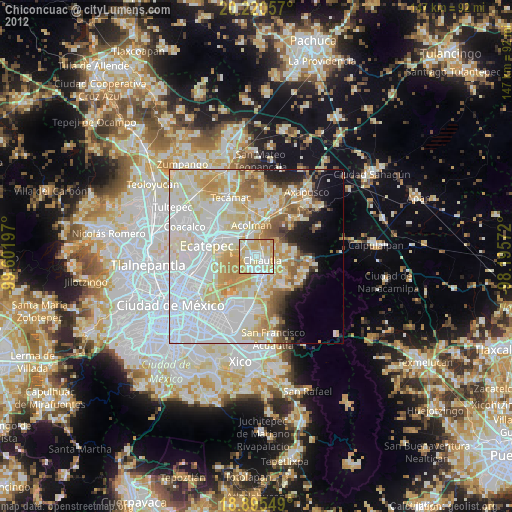
» Earth at Night: Flat Maps 2012, 2016