Tequixquiac night lights from space
Night Light of Tequixquiac (México) from space (Mexico) Src. Average luminocity for 10x10km area is 41.0216% and for 50x50km: 45.8556%.
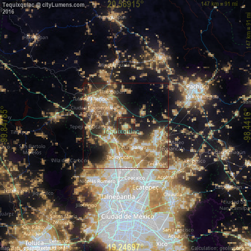
Analysis of Tequixquiac night lights 2016
Square area 10x10 km:
 0.22%
0.22%90-99
1.3%80-89
8.01%70-79
7.58%60-69
9.09%50-59
2.81%40-49
8.66%30-39
14.5%20-29
38.96%10-19
8.87%0-9
0%Square area 50x50 km:
4.39%90-99
6.09%80-89
7.48%70-79
9.99%60-69
12.12%50-59
7.08%40-49
7.52%30-39
6.89%20-29
9.42%10-19
10.76%0-9
18.26%Clear (daylight) street map image can be seen on geolist.org.
Map coordinates:
20° 34' 8.9" North, 99° 50' 52.3" West
19° 54' 34" North, 99° 8' 41" West
19° 14' 49.1" North, 98° 26' 29.8" West
Some cities around Tequixquiac sort by population:
• San Juan Zitlaltepec
10.8 km =6.7 mi,  180°
180°
• Apaxco de Ocampo
7.8 km =4.8 mi,  339°
339°
• Huehuetoca
10.9 km =6.8 mi,  214°
214°
• Ex-hacienda de Xalpa
10.6 km =6.6 mi,  202°
202°
• Jilotzingo
9.8 km =6.1 mi,  117°
117°
• San Bartolo
9.9 km =6.2 mi, 210°
• Tlapanaloya
5.8 km =3.6 mi,  59°
59°
• Miguel Bocanegra
7.9 km =4.9 mi,  154°
154°
3515794 (p: 22,676)
Sources (retrieved 2019-11-25):
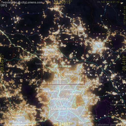
» Earth at Night: Flat Maps 2012, 2016