San Pablo Autopan night lights from space
Night Light of San Pablo Autopan (Morelos) from space (Mexico) Src. Average luminocity for 10x10km area is 78.3285% and for 50x50km: 40.7823%.
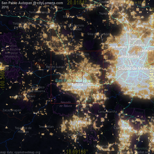
Analysis of San Pablo Autopan night lights 2016
Square area 10x10 km:
 6.82%
6.82%90-99
12.4%80-89
27.07%70-79
24.38%60-69
21.9%50-59
5.79%40-49
1.65%30-39
0%20-29
0%10-19
0%0-9
0%Square area 50x50 km:
4.33%90-99
4.36%80-89
6.54%70-79
8.5%60-69
12.09%50-59
5.88%40-49
7.15%30-39
5.19%20-29
8.16%10-19
12.24%0-9
25.56%Clear (daylight) street map image can be seen on geolist.org.
Map coordinates:
20° 1' 6.2" North, 100° 21' 37.3" West
19° 21' 23" North, 99° 39' 26.1" West
18° 41' 30" North, 98° 57' 14.8" West
Some cities around San Pablo Autopan sort by population:
• Toluca
7.6 km =4.7 mi,  176°
176°
• San José Guadalupe Otzacatipan
7 km =4.3 mi,  100°
100°
• San Mateo Otzacatipan
6.2 km =3.9 mi,  114°
114°
• San Andrés Cuexcontitlán
3.8 km =2.4 mi,  85°
85°
• Calixtlahuaca
4 km =2.5 mi,  236°
236°
• Santiaguito Tlalcilalcalli
7.6 km =4.7 mi,  256°
256°
• San Marcos Yachihuacaltepec
4.3 km =2.7 mi,  211°
211°
• Jicaltepec Autopan
2.4 km =1.5 mi,  45°
45°
3518138 (p: 35,141)
Sources (retrieved 2019-11-25):
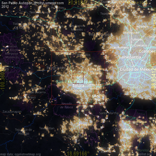
» Earth at Night: Flat Maps 2012, 2016