San Mateo Otzacatipan night lights from space
Night Light of San Mateo Otzacatipan (Morelos) from space (Mexico) Src. Average luminocity for 10x10km area is 91.8636% and for 50x50km: 43.3121%.
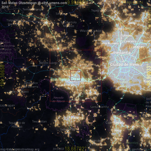
Analysis of San Mateo Otzacatipan night lights 2016
Square area 10x10 km:
 37.19%
90-99
28.1%80-89
16.94%70-79
16.53%60-69
1.24%50-59
0%40-49
0%30-39
0%20-29
0%10-19
0%0-9
0%Square area 50x50 km:
4.34%90-99
4.35%80-89
7.4%70-79
8.8%60-69
12.25%50-59
6.2%40-49
7.58%30-39
5.83%20-29
10.86%10-19
14.98%0-9
17.42%Clear (daylight) street map image can be seen on geolist.org.
Map coordinates:
19° 59' 41.5" North, 100° 18' 23.7" West
19° 19' 57.8" North, 99° 36' 12.4" West
18° 40' 4.5" North, 98° 54' 1.2" West
Some cities around San Mateo Otzacatipan sort by population:
• San José Guadalupe Otzacatipan
1.8 km =1.1 mi,  42°
42°
• San Jerónimo Chicahualco
5.7 km =3.5 mi,  168°
168°
• San Pedro Totoltepec
4.1 km =2.5 mi,  126°
126°
• Santa María Totoltepec
3.1 km =1.9 mi,  158°
158°
• San Andrés Cuexcontitlán
3.5 km =2.2 mi,  326°
326°
• San Nicolás Tolentino
4.4 km =2.7 mi,  48°
48°
• La Constitución Toltepec
6 km =3.7 mi,  72°
72°
• Jicaltepec Autopan
5.8 km =3.6 mi,  317°
317°
3827254 (p: 22,656)
Sources (retrieved 2019-11-25):
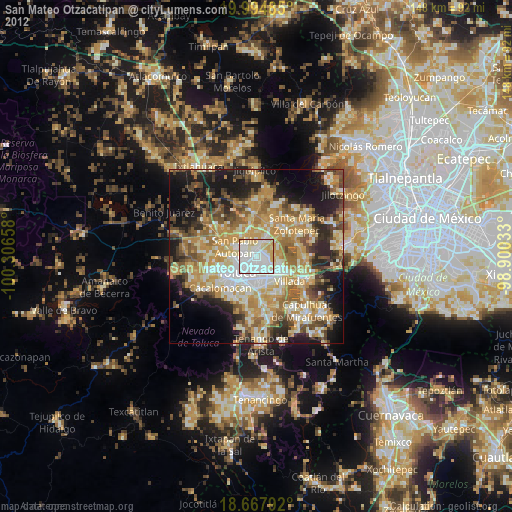
» Earth at Night: Flat Maps 2012, 2016