Cortazar night lights from space
Night Light of Cortazar (Guanajuato) from space (Mexico) Src. Average luminocity for 10x10km area is 58.6913% and for 50x50km: 34.1165%.
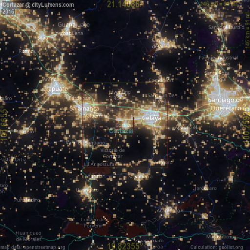

Analysis of Cortazar night lights 2016
Square area 10x10 km:
 5.68%
5.68%90-99
9.09%80-89
14.77%70-79
12.12%60-69
8.52%50-59
9.66%40-49
7.95%30-39
12.5%20-29
12.69%10-19
7.01%0-9
0%Square area 50x50 km:
2.88%90-99
3.86%80-89
6.63%70-79
5.8%60-69
4.82%50-59
4.61%40-49
7.72%30-39
6.81%20-29
8.88%10-19
18.49%0-9
29.49%Clear (daylight) street map image can be seen on geolist.org.
Map coordinates:
21° 8' 27.1" North, 101° 39' 55.8" West
20° 29' 1" North, 100° 57' 44.5" West
19° 49' 24.8" North, 100° 15' 33.3" West
Some cities around Cortazar sort by population:
• Celaya
15.9 km =9.9 mi,  73°
73°
• Juventino Rosas
18 km =11.2 mi,  349°
349°
• Villagrán
5 km =3.1 mi,  313°
313°
• Jaral del Progreso
16.2 km =10.1 mi,  220°
220°
• Valtierrilla
18 km =11.2 mi,  287°
287°
• Santiago de Cuenda
13.3 km =8.3 mi, 345°
• Mexicanos
12.4 km =7.7 mi, 294°
• Sarabia
11.2 km =7 mi, 292°
4012721 (p: 61,658)
Sources (retrieved 2019-11-25):
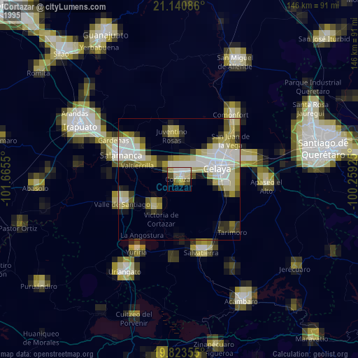
» NASA, Earths city lights 1995
» NASA city lights 2003
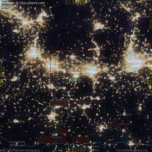
» Earth at Night: Flat Maps 2012, 2016