San Miguel Coatlinchán night lights from space
Night Light of San Miguel Coatlinchán (México) from space (Mexico) Src. Average luminocity for 10x10km area is 78.2004% and for 50x50km: 60.8772%.
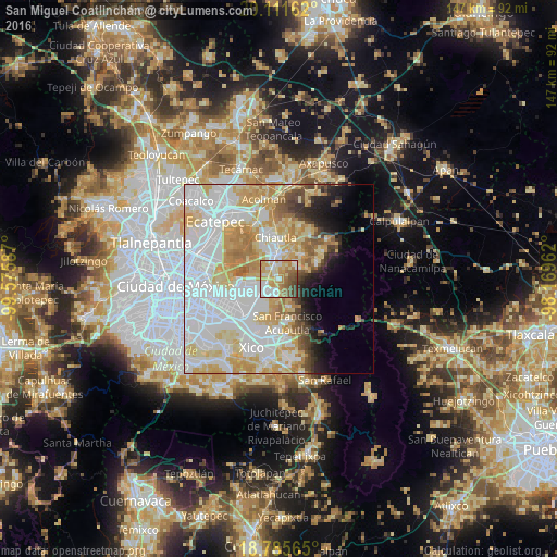
Analysis of San Miguel Coatlinchán night lights 2016
Square area 10x10 km:
 17.77%
90-99
16.94%80-89
14.88%70-79
19.21%60-69
11.57%50-59
10.33%40-49
7.85%30-39
1.45%20-29
0%10-19
0%0-9
0%Square area 50x50 km:
23.41%90-99
11.85%80-89
11.31%70-79
9.74%60-69
5.52%50-59
2.96%40-49
3.05%30-39
2.24%20-29
2.99%10-19
4.52%0-9
22.4%Clear (daylight) street map image can be seen on geolist.org.
Map coordinates:
20° 6' 41.8" North, 99° 34' 33.1" West
19° 26' 60" North, 98° 52' 21.9" West
18° 47' 8.3" North, 98° 10' 10.6" West
Some cities around San Miguel Coatlinchán sort by population:
• Chicoloapan
4.8 km =3 mi,  219°
219°
• Texcoco de Mora
7 km =4.3 mi,  351°
351°
• Santiago Cuautlalpan
3.6 km =2.2 mi,  236°
236°
• Coatepec
7.8 km =4.8 mi,  158°
158°
• Montecillo
3.8 km =2.4 mi,  281°
281°
• San Bernardino
3.9 km =2.4 mi,  320°
320°
• Tequexquináhuac
5.9 km =3.7 mi,  58°
58°
• Xochimanca
6.8 km =4.2 mi,  48°
48°
3518277 (p: 22,619)
Sources (retrieved 2019-11-25):
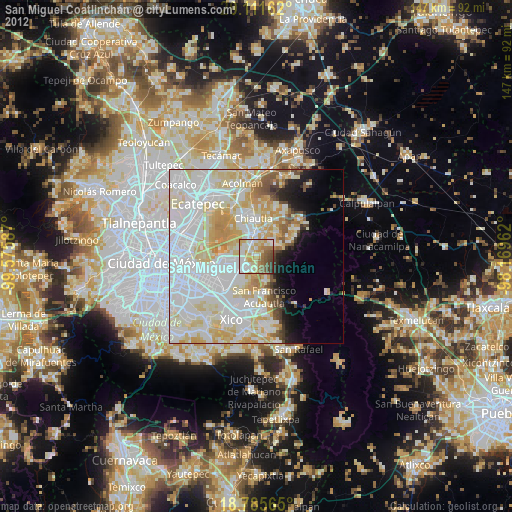
» Earth at Night: Flat Maps 2012, 2016