Chicoloapan night lights from space
Night Light of Chicoloapan (México) from space (Mexico) Src. Average luminocity for 10x10km area is 88.4876% and for 50x50km: 66.2868%.
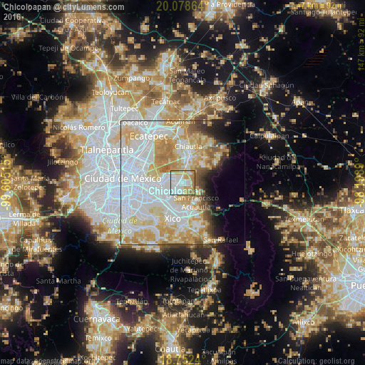
Analysis of Chicoloapan night lights 2016
Square area 10x10 km:
 33.47%
90-99
24.59%80-89
10.54%70-79
18.18%60-69
12.4%50-59
0.83%40-49
0%30-39
0%20-29
0%10-19
0%0-9
0%Square area 50x50 km:
26.95%90-99
12.63%80-89
11.74%70-79
10.59%60-69
6.02%50-59
3.14%40-49
2.79%30-39
2.11%20-29
2.76%10-19
4.31%0-9
16.96%Clear (daylight) street map image can be seen on geolist.org.
Map coordinates:
20° 4' 43.1" North, 99° 36' 18.5" West
19° 25' 0.7" North, 98° 54' 7.3" West
18° 45' 8.6" North, 98° 11' 56" West
Some cities around Chicoloapan sort by population:
• Santa María Chimalhuacán
5.1 km =3.2 mi,  275°
275°
• San Miguel Coatlinchán
4.8 km =3 mi,  39°
39°
• Lomas de San Sebastián
5.1 km =3.2 mi,  220°
220°
• Santiago Cuautlalpan
1.7 km =1.1 mi,  2°
2°
• Profesor Carlos Hank González
6.3 km =3.9 mi, 217°
• San José las Palmas
6.4 km =4 mi,  211°
211°
• Montecillo
4.5 km =2.8 mi,  351°
351°
• Arenal
5.8 km =3.6 mi,  227°
227°
3530937 (p: 172,919)
Sources (retrieved 2019-11-25):
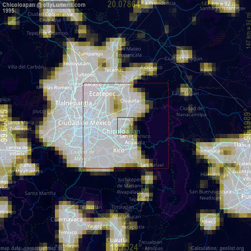
» NASA, Earths city lights 1995
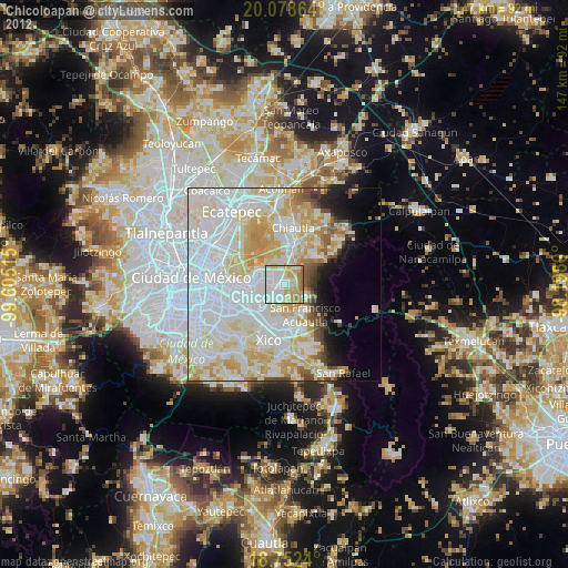
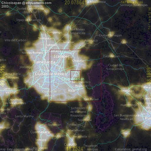
» NASA city lights 2003
» Earth at Night: Flat Maps 2012, 2016