San Martin Texmelucan de Labastida night lights from space
Night Light of San Martin Texmelucan de Labastida (Puebla) from space (Mexico) Src. Average luminocity for 10x10km area is 72.6948% and for 50x50km: 34.5178%.
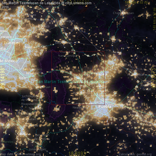
Analysis of San Martin Texmelucan de Labastida night lights 2016
Square area 10x10 km:
 5.19%
5.19%90-99
11.9%80-89
25.32%70-79
17.32%60-69
19.91%50-59
6.28%40-49
8.23%30-39
3.25%20-29
2.6%10-19
0%0-9
0%Square area 50x50 km:
3.37%90-99
3.65%80-89
9.62%70-79
6.64%60-69
5.79%50-59
5.46%40-49
6.32%30-39
4.04%20-29
5.06%10-19
8.68%0-9
41.36%Clear (daylight) street map image can be seen on geolist.org.
Map coordinates:
19° 56' 47.9" North, 99° 8' 31.1" West
19° 17' 3.5" North, 98° 26' 19.9" West
18° 37' 9.5" North, 97° 44' 8.6" West
Some cities around San Martin Texmelucan de Labastida sort by population:
• Moyotzingo
5.4 km =3.4 mi,  138°
138°
• San Rafael Tlanalapan
3.2 km =2 mi,  284°
284°
• San Lucas el Grande
4.8 km =3 mi,  300°
300°
• Tepetitla
6.9 km =4.3 mi,  107°
107°
• Villa Mariano Matamoros
7.9 km =4.9 mi,  53°
53°
• San Juan Tuxco
3.1 km =1.9 mi,  205°
205°
• Teotlaltzingo
8.8 km =5.5 mi,  227°
227°
• Villa Alta
4.1 km =2.5 mi,  76°
76°
3518407 (p: 75,518)
Sources (retrieved 2019-11-25):
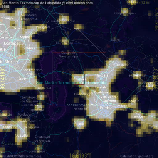
» NASA, Earths city lights 1995
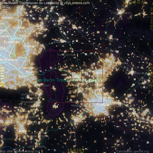
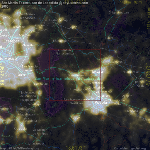
» NASA city lights 2003
» Earth at Night: Flat Maps 2012, 2016