Moyotzingo night lights from space
Night Light of Moyotzingo (Puebla) from space (Mexico) Src. Average luminocity for 10x10km area is 69.8983% and for 50x50km: 41.8825%.
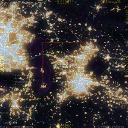
Analysis of Moyotzingo night lights 2016
Square area 10x10 km:
 4.55%
4.55%90-99
11.47%80-89
25.32%70-79
9.52%60-69
16.23%50-59
14.72%40-49
8.87%30-39
9.31%20-29
0%10-19
0%0-9
0%Square area 50x50 km:
6.08%90-99
5.12%80-89
11.21%70-79
8.03%60-69
6.51%50-59
5.88%40-49
6.78%30-39
4.05%20-29
5.38%10-19
9.16%0-9
31.79%Clear (daylight) street map image can be seen on geolist.org.
Map coordinates:
19° 54' 38.1" North, 99° 6' 28.8" West
19° 14' 53.2" North, 98° 24' 17.5" West
18° 34' 58.7" North, 97° 42' 6.3" West
Some cities around Moyotzingo sort by population:
• San Martin Texmelucan de Labastida
5.4 km =3.4 mi,  318°
318°
• Santa Ana Xalmimilulco
4.6 km =2.9 mi,  148°
148°
• San Rafael Tlanalapan
8.2 km =5.1 mi,  306°
306°
• Tepetitla
3.5 km =2.2 mi,  57°
57°
• San Lorenzo Chiautzingo
8.2 km =5.1 mi,  233°
233°
• Villa Mariano Matamoros
9.2 km =5.7 mi,  17°
17°
• San Juan Tuxco
5.1 km =3.2 mi,  284°
284°
• Villa Alta
5 km =3.1 mi,  4°
4°
3517231 (p: 27,137)
Sources (retrieved 2019-11-25):
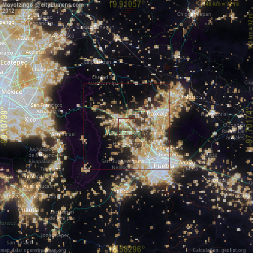
» Earth at Night: Flat Maps 2012, 2016