San Jeronimito night lights from space
Night Light of San Jeronimito (Guerrero) from space (Mexico) Src. Average luminocity for 10x10km area is 1.938% and for 50x50km: 2.2111%.
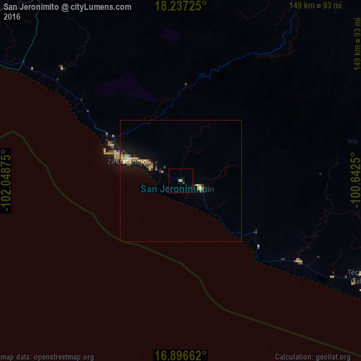
Analysis of San Jeronimito night lights 2016
Square area 10x10 km:
 0%
0%90-99
0%80-89
0%70-79
0.83%60-69
0.83%50-59
0%40-49
0%30-39
0.83%20-29
0%10-19
0%0-9
97.52%Square area 50x50 km:
0.06%90-99
0.12%80-89
0.5%70-79
0.55%60-69
0.2%50-59
0.24%40-49
0.36%30-39
0.33%20-29
0.22%10-19
2.11%0-9
95.31%Clear (daylight) street map image can be seen on geolist.org.
Map coordinates:
18° 14' 14.1" North, 102° 2' 55.5" West
17° 34' 5.4" North, 101° 20' 44.2" West
16° 53' 47.8" North, 100° 38' 33" West
Some cities around San Jeronimito sort by population:
• Ciudad Lázaro Cárdenas
103 km =64 mi,  295°
295°
• Ixtapa-Zihuatanejo
23.4 km =14.5 mi,  290°
290°
• Petatlán
8.9 km =5.5 mi,  112°
112°
• Técpan de Galeana
85.2 km =52.9 mi,  117°
117°
• Ixtapa
33.3 km =20.7 mi, 289°
• El Súchil
84 km =52.2 mi, 116°
• El Coacoyul
15.8 km =9.8 mi, 299°
• San Luis de La Loma
58.3 km =36.2 mi, 124°
3986600 (p: 6,830)
Sources (retrieved 2019-11-25):
» Earth at Night: Flat Maps 2012, 2016