Petatlán night lights from space
Night Light of Petatlán (Guerrero) from space (Mexico) Src. Average luminocity for 10x10km area is 7.7665% and for 50x50km: 1.1357%.
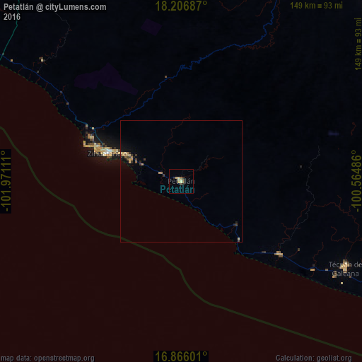
Analysis of Petatlán night lights 2016
Square area 10x10 km:
 0%
0%90-99
0%80-89
3.72%70-79
1.24%60-69
0%50-59
1.65%40-49
1.65%30-39
0.21%20-29
2.27%10-19
0%0-9
89.26%Square area 50x50 km:
0%90-99
0.01%80-89
0.3%70-79
0.28%60-69
0.1%50-59
0.15%40-49
0.23%30-39
0.27%20-29
0.17%10-19
0.41%0-9
98.08%Clear (daylight) street map image can be seen on geolist.org.
Map coordinates:
18° 12' 24.7" North, 101° 58' 16" West
17° 32' 15.6" North, 101° 16' 4.7" West
16° 51' 57.6" North, 100° 33' 53.5" West
Some cities around Petatlán sort by population:
• Ixtapa-Zihuatanejo
32.3 km =20.1 mi,  291°
291°
• Técpan de Galeana
76.3 km =47.4 mi,  117°
117°
• Ixtapa
42.2 km =26.2 mi, 290°
• San José Ixtapa (Barrio Viejo)
41.5 km =25.8 mi,  296°
296°
• El Súchil
75.1 km =46.7 mi, 117°
• El Coacoyul
24.7 km =15.3 mi, 296°
• San Jeronimito
8.9 km =5.5 mi, 292°
• San Luis de La Loma
49.6 km =30.8 mi,  126°
126°
3992842 (p: 21,659)
Sources (retrieved 2019-11-25):
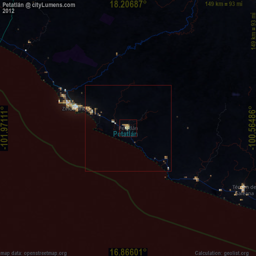
» Earth at Night: Flat Maps 2012, 2016