El Coacoyul night lights from space
Night Light of El Coacoyul (Guerrero) from space (Mexico) Src. Average luminocity for 10x10km area is 18.6322% and for 50x50km: 3.2015%.
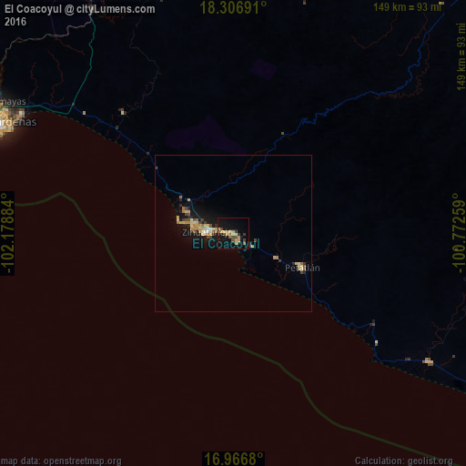
Analysis of El Coacoyul night lights 2016
Square area 10x10 km:
 0%
0%90-99
0%80-89
4.13%70-79
5.17%60-69
1.65%50-59
2.48%40-49
4.55%30-39
3.51%20-29
0.83%10-19
18.6%0-9
59.09%Square area 50x50 km:
0.06%90-99
0.16%80-89
0.68%70-79
0.77%60-69
0.44%50-59
0.3%40-49
0.58%30-39
0.37%20-29
0.46%10-19
3.08%0-9
93.1%Clear (daylight) street map image can be seen on geolist.org.
Map coordinates:
18° 18' 24.9" North, 102° 10' 43.8" West
17° 38' 17.2" North, 101° 28' 32.6" West
16° 58' 0.5" North, 100° 46' 21.3" West
Some cities around El Coacoyul sort by population:
• Ciudad Lázaro Cárdenas
87.2 km =54.2 mi,  295°
295°
• Ixtapa-Zihuatanejo
8.1 km =5 mi,  274°
274°
• Guacamayas
88.7 km =55.1 mi, 298°
• Petatlán
24.7 km =15.3 mi,  116°
116°
• Ixtapa
17.9 km =11.1 mi,  280°
280°
• San José Ixtapa (Barrio Viejo)
16.8 km =10.4 mi, 295°
• San Jeronimito
15.8 km =9.8 mi, 119°
• San Luis de La Loma
74.1 km =46 mi, 123°
4010311 (p: 6,850)
Sources (retrieved 2019-11-25):
» Earth at Night: Flat Maps 2012, 2016