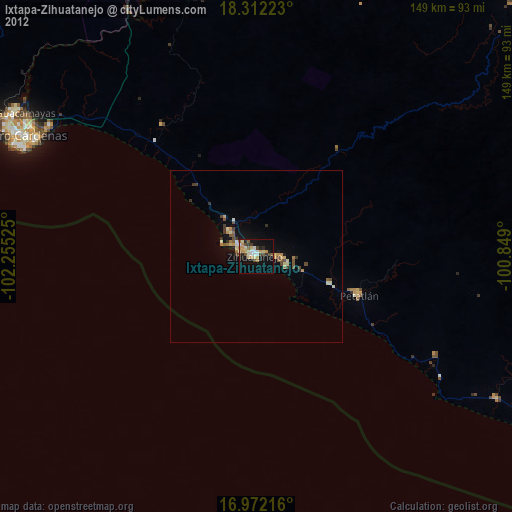
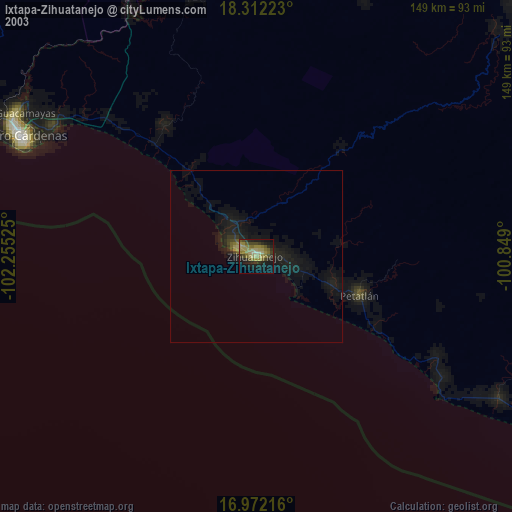
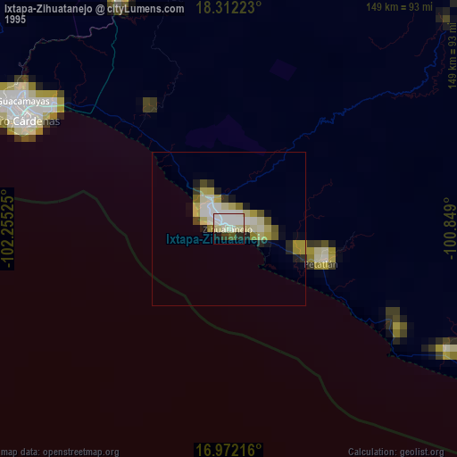
Ixtapa-Zihuatanejo night lights from space
Night Light of Ixtapa-Zihuatanejo (Guerrero) from space (Mexico) Src. Average luminocity for 10x10km area is 31.5103% and for 50x50km: 2.9033%.
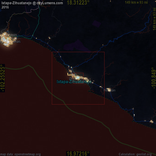
Analysis of Ixtapa-Zihuatanejo night lights 2016
Square area 10x10 km:
 1.45%
1.45%90-99
3.93%80-89
5.58%70-79
7.64%60-69
5.17%50-59
2.69%40-49
5.17%30-39
2.48%20-29
1.65%10-19
44.21%0-9
20.04%Square area 50x50 km:
0.06%90-99
0.16%80-89
0.54%70-79
0.72%60-69
0.44%50-59
0.24%40-49
0.52%30-39
0.36%20-29
0.39%10-19
3.08%0-9
93.5%Clear (daylight) street map image can be seen on geolist.org.
Map coordinates:
18° 18' 44" North, 102° 15' 18.9" West
17° 38' 36.4" North, 101° 33' 7.6" West
16° 58' 19.8" North, 100° 50' 56.4" West
Some cities around Ixtapa-Zihuatanejo sort by population:
• Ciudad Lázaro Cárdenas
79.6 km =49.5 mi,  297°
297°
• Guacamayas
81.4 km =50.6 mi, 300°
• Petatlán
32.3 km =20.1 mi,  111°
111°
• La Orilla
81.5 km =50.6 mi, 298°
• San José Ixtapa (Barrio Viejo)
9.7 km =6 mi,  312°
312°
• El Coacoyul
8.1 km =5 mi,  94°
94°
• San Jeronimito
23.4 km =14.5 mi, 110°
• San Luis de La Loma
81.2 km =50.5 mi,  120°
120°
3979673 (p: 67,408)
Sources (retrieved 2019-11-25):
» NASA, Earths city lights 1995
» NASA city lights 2003
» Earth at Night: Flat Maps 2012, 2016