Sahuayo de Morelos night lights from space
Night Light of Sahuayo de Morelos (Michoacán) from space (Mexico) Src. Average luminocity for 10x10km area is 36.246% and for 50x50km: 4.801%.
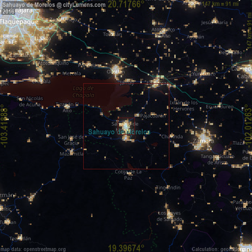
Analysis of Sahuayo de Morelos night lights 2016
Square area 10x10 km:
 1.98%
1.98%90-99
4.37%80-89
11.11%70-79
6.75%60-69
4.56%50-59
0.99%40-49
4.96%30-39
2.18%20-29
9.52%10-19
47.22%0-9
6.35%Square area 50x50 km:
0.1%90-99
0.28%80-89
1.05%70-79
0.78%60-69
0.6%50-59
0.64%40-49
0.81%30-39
0.86%20-29
0.86%10-19
3.94%0-9
90.07%Clear (daylight) street map image can be seen on geolist.org.
Map coordinates:
20° 43' 3.6" North, 103° 25' 8" West
20° 3' 30.9" North, 102° 42' 56.7" West
19° 23' 48.3" North, 102° 0' 45.5" West
Some cities around Sahuayo de Morelos sort by population:
• La Barca
31.1 km =19.3 mi,  34°
34°
• Jiquílpan de Juárez
7.1 km =4.4 mi,  183°
183°
• Jamay
26.1 km =16.2 mi,  1°
1°
• Cotija de la Paz
27.8 km =17.3 mi, 177°
• Venustiano Carranza
9 km =5.6 mi,  45°
45°
• Pajacuarán
17 km =10.6 mi,  66°
66°
• Cojumatlán de Régules
15.7 km =9.8 mi,  295°
295°
• Chavinda
27.3 km =17 mi,  102°
102°
3988258 (p: 64,431)
Sources (retrieved 2019-11-25):
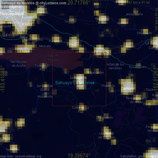
» NASA, Earths city lights 1995
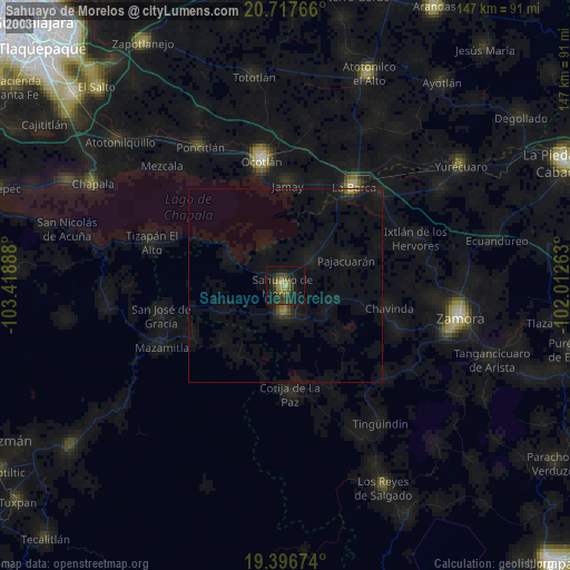
» NASA city lights 2003
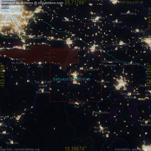
» Earth at Night: Flat Maps 2012, 2016