Rincón Chamula night lights from space
Night Light of Rincón Chamula (Chiapas) from space (Mexico) Src. Average luminocity for 10x10km area is 5.6198% and for 50x50km: 3.1256%.
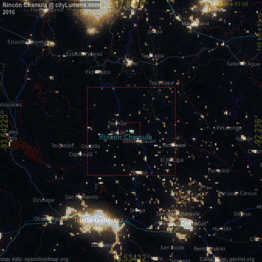
Analysis of Rincón Chamula night lights 2016
Square area 10x10 km:
 0%
0%90-99
1.03%80-89
2.27%70-79
0%60-69
0.83%50-59
0%40-49
1.65%30-39
0%20-29
0%10-19
0.83%0-9
93.39%Square area 50x50 km:
0.07%90-99
0.59%80-89
0.41%70-79
0.28%60-69
0.34%50-59
0.45%40-49
0.89%30-39
0.61%20-29
0.63%10-19
0.37%0-9
95.35%Clear (daylight) street map image can be seen on geolist.org.
Map coordinates:
17° 52' 39.4" North, 93° 38' 32.1" West
17° 12' 25.8" North, 92° 56' 20.8" West
16° 32' 3.6" North, 92° 14' 9.6" West
Some cities around Rincón Chamula sort by population:
• Teapa
38.1 km =23.7 mi,  357°
357°
• Bochil
24 km =14.9 mi,  167°
167°
• Simojovel de Allende
25 km =15.5 mi,  107°
107°
• Pueblo Nuevo
6.7 km =4.2 mi,  141°
141°
• Tapilula
9.5 km =5.9 mi,  299°
299°
• Copainalá
31.5 km =19.6 mi,  246°
246°
• Rayón
7.7 km =4.8 mi,  265°
265°
• El Bosque
28.2 km =17.5 mi,  124°
124°
3815772 (p: 5,592)
Sources (retrieved 2019-11-25):
» Earth at Night: Flat Maps 2012, 2016