Teapa night lights from space
Night Light of Teapa (Tabasco) from space (Mexico) Src. Average luminocity for 10x10km area is 13.8926% and for 50x50km: 3.9053%.
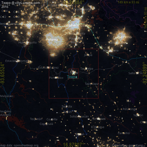
Analysis of Teapa night lights 2016
Square area 10x10 km:
 1.24%
1.24%90-99
2.27%80-89
1.45%70-79
1.45%60-69
0.83%50-59
3.51%40-49
2.89%30-39
3.51%20-29
1.65%10-19
1.86%0-9
79.34%Square area 50x50 km:
0.11%90-99
0.28%80-89
0.43%70-79
0.25%60-69
0.33%50-59
0.96%40-49
1.62%30-39
1.32%20-29
1.24%10-19
1.41%0-9
92.02%Clear (daylight) street map image can be seen on geolist.org.
Map coordinates:
18° 13' 7.8" North, 93° 39' 18.9" West
17° 32' 58.9" North, 92° 57' 7.6" West
16° 52' 41.1" North, 92° 14' 56.4" West
Some cities around Teapa sort by population:
• Río de Teapa
26.6 km =16.5 mi,  11°
11°
• Playas del Rosario
33.8 km =21 mi,  3°
3°
• Pichucalco
17.9 km =11.1 mi,  255°
255°
• Parrilla II
36.8 km =22.9 mi, 4°
• Tacotalpa
14.3 km =8.9 mi,  68°
68°
• Tapilula
34.1 km =21.2 mi,  191°
191°
• Juárez
26.4 km =16.4 mi,  283°
283°
• Rincón Chamula
38.1 km =23.7 mi,  177°
177°
3516210 (p: 26,548)
Sources (retrieved 2019-11-25):
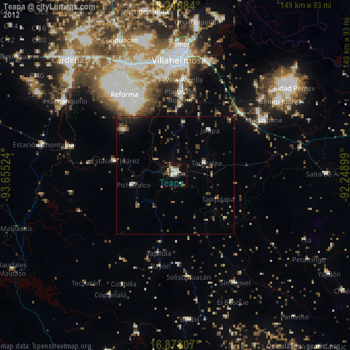
» Earth at Night: Flat Maps 2012, 2016