El Bosque night lights from space
Night Light of El Bosque (Chiapas) from space (Mexico) Src. Average luminocity for 10x10km area is 7.3225% and for 50x50km: 6.2848%.
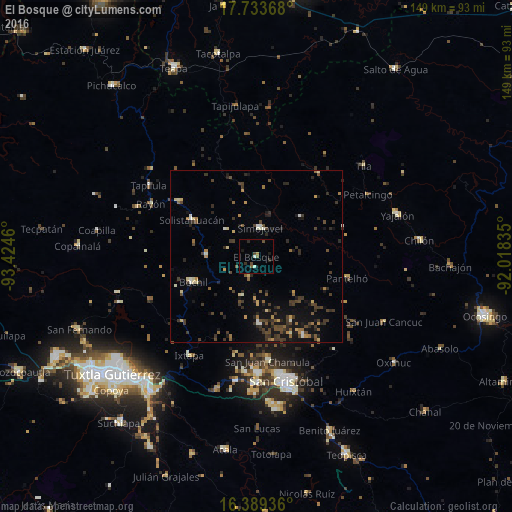
Analysis of El Bosque night lights 2016
Square area 10x10 km:
 0%
0%90-99
1.73%80-89
0%70-79
0.43%60-69
0.43%50-59
1.95%40-49
2.38%30-39
0.87%20-29
1.73%10-19
2.6%0-9
87.88%Square area 50x50 km:
0.06%90-99
0.75%80-89
0.61%70-79
0.68%60-69
0.66%50-59
0.75%40-49
1.82%30-39
1.93%20-29
1.83%10-19
4.02%0-9
86.91%Clear (daylight) street map image can be seen on geolist.org.
Map coordinates:
17° 44' 1.2" North, 93° 25' 28.6" West
17° 3' 45.8" North, 92° 43' 17.3" West
16° 23' 21.7" North, 92° 1' 6.1" West
Some cities around El Bosque sort by population:
• Bochil
19.6 km =12.2 mi,  247°
247°
• Simojovel de Allende
8.7 km =5.4 mi,  5°
5°
• Pueblo Nuevo
21.8 km =13.5 mi,  299°
299°
• Pantelhó
27.3 km =17 mi,  103°
103°
• Petalcingo
37.3 km =23.2 mi,  60°
60°
• Ixtapa
34.9 km =21.7 mi,  214°
214°
• Rayón
34.4 km =21.4 mi, 296°
• Rincón Chamula
28.2 km =17.5 mi, 304°
3529372 (p: 5,155)
Sources (retrieved 2019-11-25):
» Earth at Night: Flat Maps 2012, 2016