Puebla night lights from space
Night Light of Puebla from space (Mexico) Src. Average luminocity for 10x10km area is 98.8874% and for 50x50km: 49.5989%.
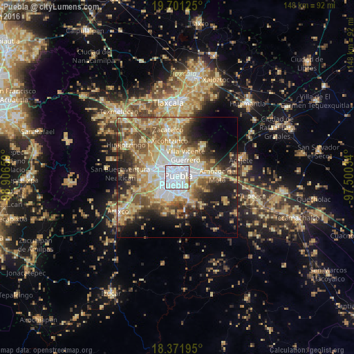
Analysis of Puebla night lights 2016
Square area 10x10 km:
 77.49%
90-99
17.1%80-89
4.76%70-79
0.65%60-69
0%50-59
0%40-49
0%30-39
0%20-29
0%10-19
0%0-9
0%Square area 50x50 km:
9.54%90-99
7.26%80-89
11.89%70-79
8.48%60-69
6.03%50-59
6.95%40-49
7.39%30-39
5.33%20-29
6.83%10-19
11.23%0-9
19.06%Clear (daylight) street map image can be seen on geolist.org.
Map coordinates:
19° 42' 4.5" North, 98° 54' 23.7" West
19° 2' 16.5" North, 98° 12' 12.5" West
18° 22' 19" North, 97° 30' 1.2" West
Some cities around Puebla sort by population:
• San Bernardino Tlaxcalancingo
7.8 km =4.8 mi,  262°
262°
• San Andrés Cholula
9.8 km =6.1 mi,  278°
278°
• Sanctorum
8.6 km =5.3 mi,  321°
321°
• Cuautlancingo
9.3 km =5.8 mi,  308°
308°
• Santiago Momoxpan
7.8 km =4.8 mi,  300°
300°
• Casa Blanca
8.9 km =5.5 mi,  86°
86°
• San Sebastián de Aparicio
8.5 km =5.3 mi,  31°
31°
• Santo Tomás Chautla
9.6 km =6 mi,  146°
146°
3521081 (p: 1,434,062)
Sources (retrieved 2019-11-25):
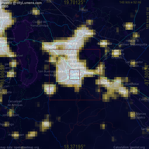
» NASA, Earths city lights 1995
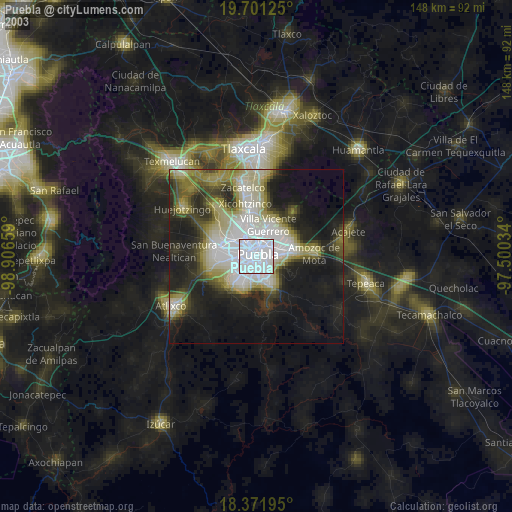
» NASA city lights 2003
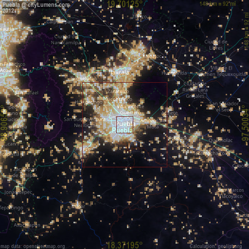
» Earth at Night: Flat Maps 2012, 2016