Ocotlán night lights from space
Night Light of Ocotlán (Jalisco) from space (Mexico) Src. Average luminocity for 10x10km area is 40.3068% and for 50x50km: 7.8897%.
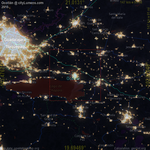
Analysis of Ocotlán night lights 2016
Square area 10x10 km:
 3.98%
3.98%90-99
8.33%80-89
8.33%70-79
5.11%60-69
3.79%50-59
0.57%40-49
11.74%30-39
2.65%20-29
7.77%10-19
45.27%0-9
2.46%Square area 50x50 km:
0.18%90-99
0.64%80-89
1.63%70-79
1.29%60-69
0.92%50-59
0.64%40-49
1.84%30-39
1.37%20-29
1.23%10-19
5.58%0-9
84.68%Clear (daylight) street map image can be seen on geolist.org.
Map coordinates:
21° 0' 47.2" North, 103° 28' 36.2" West
20° 21' 19.1" North, 102° 46' 24.9" West
19° 41' 40.9" North, 102° 4' 13.7" West
Some cities around Ocotlán sort by population:
• La Barca
25 km =15.5 mi,  107°
107°
• Jamay
9.7 km =6 mi,  134°
134°
• Poncitlán
16.1 km =10 mi,  279°
279°
• Tototlán
20.9 km =13 mi,  354°
354°
• Cojumatlán de Régules
27.6 km =17.1 mi,  197°
197°
• Cuitzeo (La Estancia)
1.8 km =1.1 mi,  217°
217°
• San Pedro Itzicán
19.3 km =12 mi,  257°
257°
• Mezcala
25.5 km =15.8 mi,  265°
265°
3994489 (p: 83,769)
Sources (retrieved 2019-11-25):
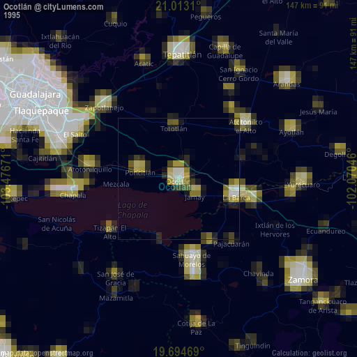
» NASA, Earths city lights 1995
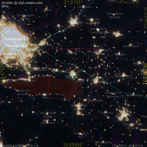
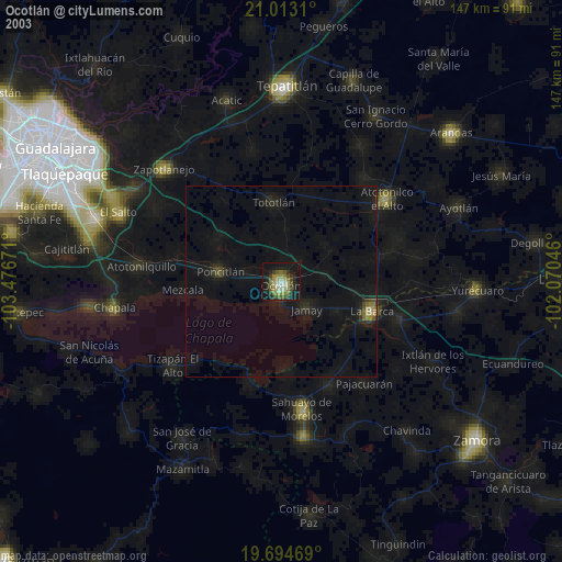
» NASA city lights 2003
» Earth at Night: Flat Maps 2012, 2016