Nanchital de Lázaro Cárdenas del Río night lights from space
Night Light of Nanchital de Lázaro Cárdenas del Río (Veracruz) from space (Mexico) Src. Average luminocity for 10x10km area is 79.5065% and for 50x50km: 33.2227%.
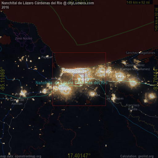
Analysis of Nanchital de Lázaro Cárdenas del Río night lights 2016
Square area 10x10 km:
 12.55%
90-99
22.73%80-89
17.97%70-79
12.34%60-69
18.83%50-59
13.2%40-49
2.38%30-39
0%20-29
0%10-19
0%0-9
0%Square area 50x50 km:
3.94%90-99
7.52%80-89
5.41%70-79
3.52%60-69
4.17%50-59
5.99%40-49
6.86%30-39
6.54%20-29
6.86%10-19
9.12%0-9
40.06%Clear (daylight) street map image can be seen on geolist.org.
Map coordinates:
18° 44' 18" North, 95° 6' 38.5" West
18° 4' 16.2" North, 94° 24' 27.2" West
17° 24' 5.3" North, 93° 42' 16" West
Some cities around Nanchital de Lázaro Cárdenas del Río sort by population:
• Coatzacoalcos
9.5 km =5.9 mi,  335°
335°
• Minatitlán
17.7 km =11 mi,  243°
243°
• Allende
9.5 km =5.9 mi,  9°
9°
• Fraccionamiento Ciudad Olmeca
17.7 km =11 mi,  299°
299°
• Ixhuatlán del Sureste
5.9 km =3.7 mi,  160°
160°
• Lomas de Barrillas
15.2 km =9.4 mi, 304°
• Mundo Nuevo
2.6 km =1.6 mi,  43°
43°
• Cuichapa
20 km =12.4 mi,  137°
137°
3522845 (p: 25,289)
Sources (retrieved 2019-11-25):
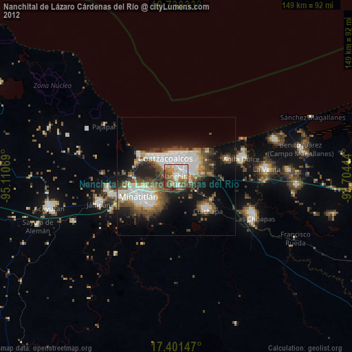
» Earth at Night: Flat Maps 2012, 2016