Allende night lights from space
Night Light of Allende (Veracruz) from space (Mexico) Src. Average luminocity for 10x10km area is 69.6558% and for 50x50km: 31.4376%.
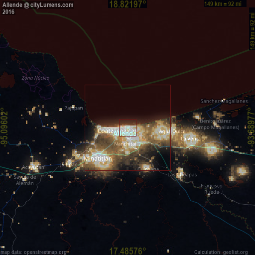
Analysis of Allende night lights 2016
Square area 10x10 km:
 24.24%
90-99
29.87%80-89
7.14%70-79
0.43%60-69
0.22%50-59
0%40-49
3.9%30-39
8.01%20-29
15.8%10-19
10.39%0-9
0%Square area 50x50 km:
3.88%90-99
7.44%80-89
5.28%70-79
3.46%60-69
4.19%50-59
5.73%40-49
6.45%30-39
5.31%20-29
5.83%10-19
7.21%0-9
45.21%Clear (daylight) street map image can be seen on geolist.org.
Map coordinates:
18° 49' 19.1" North, 95° 5' 45.7" West
18° 9' 18.5" North, 94° 23' 34.4" West
17° 29' 8.7" North, 93° 41' 23.2" West
Some cities around Allende sort by population:
• Coatzacoalcos
5.5 km =3.4 mi,  262°
262°
• Minatitlán
24.4 km =15.2 mi,  225°
225°
• Agua Dulce
26.2 km =16.3 mi,  93°
93°
• Nanchital de Lázaro Cárdenas del Río
9.5 km =5.9 mi,  189°
189°
• Fraccionamiento Ciudad Olmeca
16.9 km =10.5 mi,  268°
268°
• Ixhuatlán del Sureste
14.9 km =9.3 mi,  178°
178°
• Lomas de Barrillas
14.1 km =8.8 mi, 266°
• Mundo Nuevo
7.4 km =4.6 mi, 177°
3533056 (p: 23,620)
Sources (retrieved 2019-11-25):
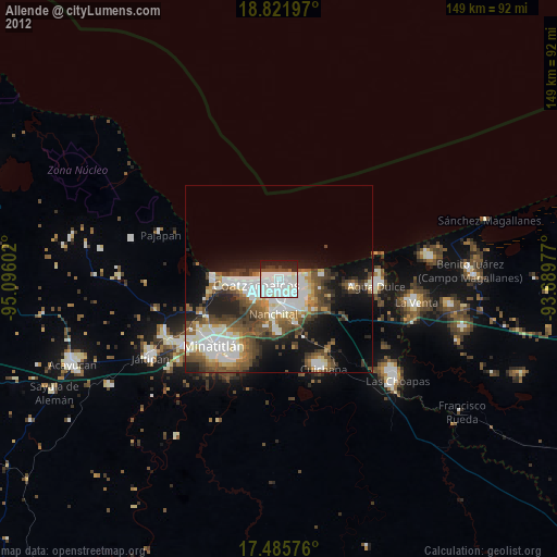
» Earth at Night: Flat Maps 2012, 2016