Motozintla night lights from space
Night Light of Motozintla (Chiapas) from space (Mexico) Src. Average luminocity for 10x10km area is 8.7424% and for 50x50km: 1.11%.
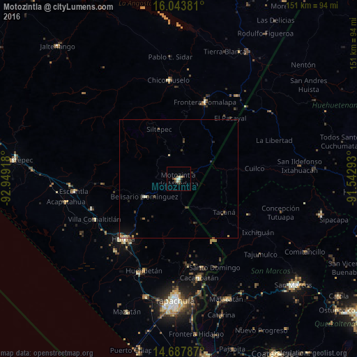
Analysis of Motozintla night lights 2016
Square area 10x10 km:
 0.22%
0.22%90-99
2.38%80-89
0.87%70-79
1.52%60-69
0.65%50-59
1.3%40-49
1.73%30-39
1.73%20-29
1.73%10-19
0%0-9
87.88%Square area 50x50 km:
0.01%90-99
0.19%80-89
0.13%70-79
0.17%60-69
0.13%50-59
0.11%40-49
0.3%30-39
0.3%20-29
0.32%10-19
0.34%0-9
98.01%Clear (daylight) street map image can be seen on geolist.org.
Map coordinates:
16° 2' 37.7" North, 92° 56' 57" West
15° 22' 1" North, 92° 14' 45.8" West
14° 41' 16.3" North, 91° 32' 34.5" West
Some cities around Motozintla sort by population:
• Huixtla
34.5 km =21.4 mi,  222°
222°
• Comalapa
34.3 km =21.3 mi,  18°
18°
• Cacahoatán
42.6 km =26.5 mi,  168°
168°
• Huehuetán
41.3 km =25.7 mi,  200°
200°
• Villa Comaltitlán
39.3 km =24.4 mi,  244°
244°
• Tacaná, GT
23.8 km =14.8 mi,  126°
126°
• Estación Huehuetán
43.2 km =26.8 mi, 203°
• Chicomuselo
42.1 km =26.2 mi,  354°
354°
3522926 (p: 23,755)
Sources (retrieved 2019-11-25):
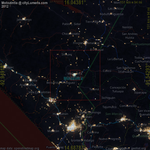
» Earth at Night: Flat Maps 2012, 2016