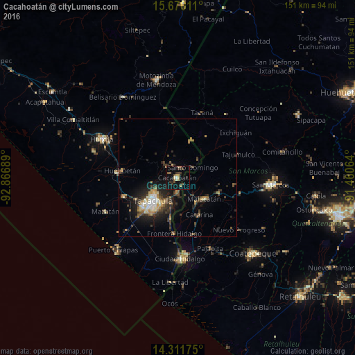
Cacahoatán night lights from space
Night Light of Cacahoatán (Chiapas) from space (Mexico) Src. Average luminocity for 10x10km area is 18.1157% and for 50x50km: 8.0212%.
Analysis of Cacahoatán night lights 2016
Square area 10x10 km:
 0.41%
0.41%90-99
1.24%80-89
2.07%70-79
3.31%60-69
0.83%50-59
3.72%40-49
2.89%30-39
6.2%20-29
2.89%10-19
14.88%0-9
61.57%Square area 50x50 km:
0.6%90-99
1.06%80-89
0.81%70-79
1%60-69
1%50-59
0.98%40-49
1.69%30-39
2.04%20-29
2.74%10-19
4.96%0-9
83.12%Clear (daylight) street map image can be seen on geolist.org.
Map coordinates:
15° 40' 12.4" North, 92° 52' 0.8" West
14° 59' 31.2" North, 92° 9' 49.5" West
14° 18' 42.3" North, 91° 27' 38.3" West
Some cities around Cacahoatán sort by population:
• Tapachula
14.1 km =8.8 mi,  225°
225°
• Malacatán, GT
14.5 km =9 mi,  128°
128°
• San Pablo, GT
18.4 km =11.4 mi,  111°
111°
• Huehuetán
23.7 km =14.7 mi,  277°
277°
• Tuxtla Chico
5.9 km =3.7 mi,  183°
183°
• Vida Mejor I
20.6 km =12.8 mi, 228°
• Estación Huehuetán
26.2 km =16.3 mi,  274°
274°
• Álvaro Obregón
24.3 km =15.1 mi,  251°
251°
3531904 (p: 16,572)
Sources (retrieved 2019-11-25):
» Earth at Night: Flat Maps 2012, 2016