Comalapa night lights from space
Night Light of Comalapa (Chiapas) from space (Mexico) Src. Average luminocity for 10x10km area is 7.026% and for 50x50km: 1.0423%.
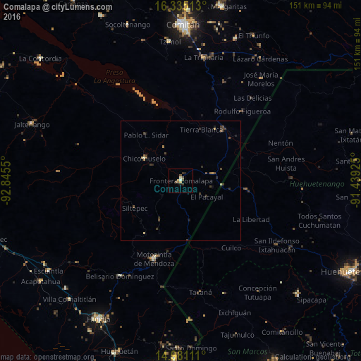
Analysis of Comalapa night lights 2016
Square area 10x10 km:
 0%
0%90-99
1.73%80-89
0%70-79
1.73%60-69
0%50-59
2.16%40-49
2.16%30-39
1.52%20-29
1.52%10-19
0.43%0-9
88.74%Square area 50x50 km:
0%90-99
0.1%80-89
0.12%70-79
0.12%60-69
0.13%50-59
0.18%40-49
0.49%30-39
0.33%20-29
0.32%10-19
0.19%0-9
98.01%Clear (daylight) street map image can be seen on geolist.org.
Map coordinates:
16° 20' 6.5" North, 92° 50' 43.8" West
15° 39' 33.3" North, 92° 8' 32.5" West
14° 58' 52" North, 91° 26' 21.3" West
Some cities around Comalapa sort by population:
• Jacaltenango, GT
46.1 km =28.6 mi,  88°
88°
• Motozintla
34.3 km =21.3 mi,  198°
198°
• La Trinitaria
52 km =32.3 mi,  10°
10°
• Concepción Huista, GT
51.2 km =31.8 mi, 94°
• La Libertad, GT
33.4 km =20.8 mi,  118°
118°
• Tacaná, GT
47.2 km =29.3 mi,  170°
170°
• Chicomuselo
17.8 km =11.1 mi,  302°
302°
• San Antonio Huista, GT
39.7 km =24.7 mi, 91°
3527542 (p: 18,704)
Sources (retrieved 2019-11-25):
» Earth at Night: Flat Maps 2012, 2016