Benito Juárez night lights from space
Night Light of Benito Juárez (Mexico City) from space (Mexico) Src. Average luminocity for 10x10km area is 100% and for 50x50km: 76.4173%.
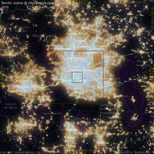
Analysis of Benito Juárez night lights 2016
Square area 10x10 km:
 100%
100%90-99
0%80-89
0%70-79
0%60-69
0%50-59
0%40-49
0%30-39
0%20-29
0%10-19
0%0-9
0%Square area 50x50 km:
40.1%90-99
12.71%80-89
10.27%70-79
8.72%60-69
5.47%50-59
2.53%40-49
2.76%30-39
2.21%20-29
3.95%10-19
4.77%0-9
6.5%Clear (daylight) street map image can be seen on geolist.org.
Map coordinates:
20° 2' 4.7" North, 99° 51' 34.3" West
19° 22' 21.7" North, 99° 9' 23" West
18° 42' 29" North, 98° 27' 11.8" West
Some cities around Benito Juárez sort by population:
• Mexico City
6.9 km =4.3 mi,  25°
25°
• Álvaro Obregón
5.2 km =3.2 mi,  252°
252°
• Coyoacán
2.9 km =1.8 mi,  190°
190°
• Cuauhtémoc
8.1 km =5 mi,  7°
7°
• Iztacalco
6.6 km =4.1 mi,  67°
67°
• Colonia del Valle
1.6 km =1 mi,  338°
338°
• Magdalena Contreras
7.3 km =4.5 mi,  231°
231°
• Colonia Nativitas
2.3 km =1.4 mi, 65°
6957079 (p: 385,439)
Sources (retrieved 2019-11-25):
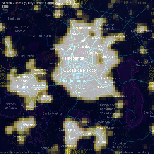
» NASA, Earths city lights 1995
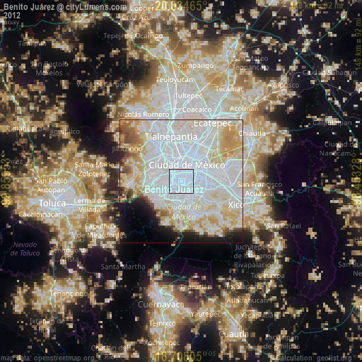
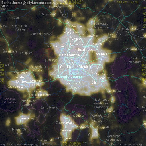
» NASA city lights 2003
» Earth at Night: Flat Maps 2012, 2016