Martínez de la Torre night lights from space
Night Light of Martínez de la Torre (Veracruz) from space (Mexico) Src. Average luminocity for 10x10km area is 28.7302% and for 50x50km: 3.7902%.
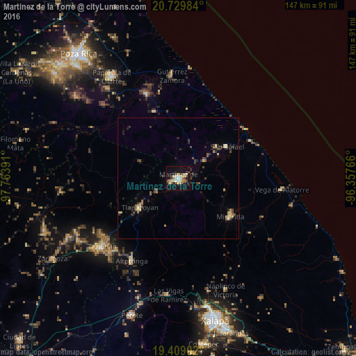
Analysis of Martínez de la Torre night lights 2016
Square area 10x10 km:
 1.79%
1.79%90-99
3.77%80-89
8.53%70-79
3.97%60-69
2.58%50-59
0%40-49
6.35%30-39
4.96%20-29
1.79%10-19
32.94%0-9
33.33%Square area 50x50 km:
0.11%90-99
0.3%80-89
0.77%70-79
0.44%60-69
0.41%50-59
0.46%40-49
0.81%30-39
0.81%20-29
0.76%10-19
2.01%0-9
93.11%Clear (daylight) street map image can be seen on geolist.org.
Map coordinates:
20° 43' 47.4" North, 97° 45' 50.1" West
20° 4' 15" North, 97° 3' 38.8" West
19° 24' 32.5" North, 96° 21' 27.6" West
Some cities around Martínez de la Torre sort by population:
• Tlapacoyan
19.8 km =12.3 mi,  232°
232°
• Misantla
26.9 km =16.7 mi,  125°
125°
• Altotonga
39 km =24.2 mi,  209°
209°
• Villa Independencia
2 km =1.2 mi,  152°
152°
• Jalacingo
39.4 km =24.5 mi,  221°
221°
• San Rafael
24.1 km =15 mi,  57°
57°
• Hueytamalco
27.9 km =17.3 mi,  238°
238°
• Atoluca
38.9 km =24.2 mi, 231°
3523513 (p: 60,074)
Sources (retrieved 2019-11-25):
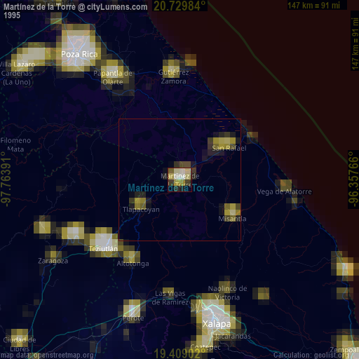
» NASA, Earths city lights 1995
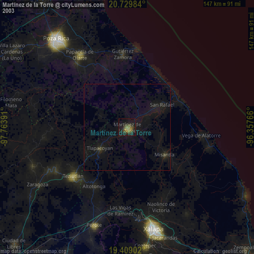
» NASA city lights 2003
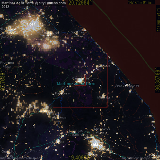
» Earth at Night: Flat Maps 2012, 2016