Tlapacoyan night lights from space
Night Light of Tlapacoyan (Veracruz) from space (Mexico) Src. Average luminocity for 10x10km area is 14.5693% and for 50x50km: 6.5851%.
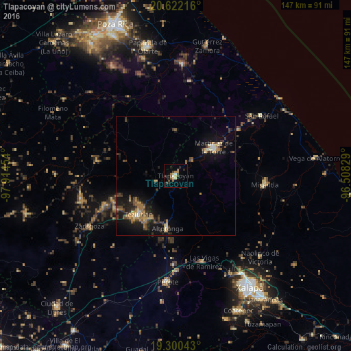
Analysis of Tlapacoyan night lights 2016
Square area 10x10 km:
 1.08%
1.08%90-99
0.87%80-89
1.52%70-79
2.38%60-69
3.68%50-59
2.16%40-49
3.03%30-39
0.87%20-29
3.68%10-19
2.6%0-9
78.14%Square area 50x50 km:
0.18%90-99
0.32%80-89
1%70-79
0.98%60-69
1.39%50-59
0.59%40-49
1.63%30-39
1.38%20-29
1.89%10-19
5.88%0-9
84.78%Clear (daylight) street map image can be seen on geolist.org.
Map coordinates:
20° 37' 19.8" North, 97° 54' 52.3" West
19° 57' 45.6" North, 97° 12' 41.1" West
19° 18' 1.5" North, 96° 30' 29.8" West
Some cities around Tlapacoyan sort by population:
• Martínez de la Torre
19.8 km =12.3 mi,  52°
52°
• Teziutlan
22.4 km =13.9 mi,  223°
223°
• Altotonga
22.1 km =13.7 mi,  189°
189°
• Villa Independencia
19.6 km =12.2 mi,  58°
58°
• Jalacingo
20.4 km =12.7 mi,  209°
209°
• San Juan Xiutetelco
22.1 km =13.7 mi, 212°
• Hueytamalco
8.4 km =5.2 mi,  252°
252°
• Atoluca
19.1 km =11.9 mi,  231°
231°
3515386 (p: 35,338)
Sources (retrieved 2019-11-25):
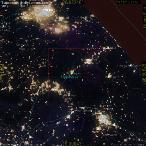
» Earth at Night: Flat Maps 2012, 2016