Misantla night lights from space
Night Light of Misantla (Veracruz) from space (Mexico) Src. Average luminocity for 10x10km area is 12.0238% and for 50x50km: 2.543%.
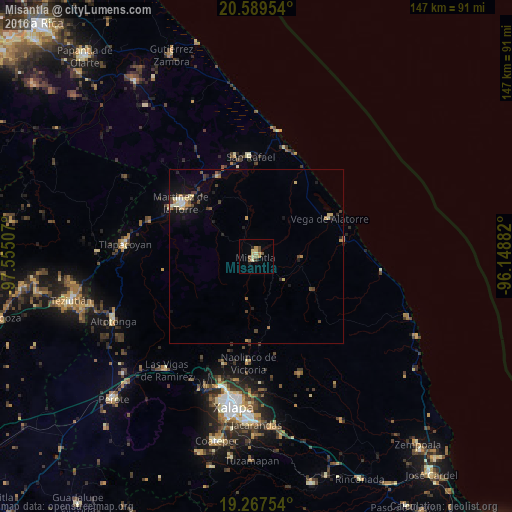
Analysis of Misantla night lights 2016
Square area 10x10 km:
 0%
0%90-99
1.3%80-89
3.68%70-79
1.73%60-69
2.38%50-59
1.95%40-49
1.95%30-39
0.87%20-29
1.08%10-19
0.65%0-9
84.42%Square area 50x50 km:
0.07%90-99
0.2%80-89
0.62%70-79
0.34%60-69
0.3%50-59
0.26%40-49
0.57%30-39
0.5%20-29
0.45%10-19
1.4%0-9
95.26%Clear (daylight) street map image can be seen on geolist.org.
Map coordinates:
20° 35' 22.3" North, 97° 33' 18.3" West
19° 55' 47.7" North, 96° 51' 7" West
19° 16' 3.1" North, 96° 8' 55.8" West
Some cities around Misantla sort by population:
• Martínez de la Torre
26.9 km =16.7 mi,  305°
305°
• Tlapacoyan
37.7 km =23.4 mi,  275°
275°
• Villa Independencia
25.1 km =15.6 mi,  303°
303°
• Naolinco de Victoria
30.7 km =19.1 mi,  184°
184°
• Vega de Alatorre
24 km =14.9 mi,  62°
62°
• Coacoatzintla
32.3 km =20.1 mi,  196°
196°
• San Rafael
28.8 km =17.9 mi,  356°
356°
• Villa Emilio Carranza
25.5 km =15.8 mi,  79°
79°
3523141 (p: 26,827)
Sources (retrieved 2019-11-25):
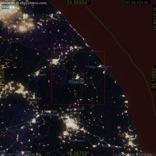
» Earth at Night: Flat Maps 2012, 2016