Huatabampo night lights from space
Night Light of Huatabampo (Sonora) from space (Mexico) Src. Average luminocity for 10x10km area is 15.0575% and for 50x50km: 1.9481%.
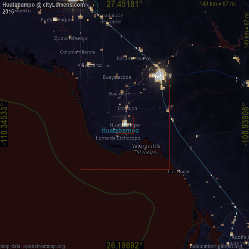
Analysis of Huatabampo night lights 2016
Square area 10x10 km:
 1.39%
1.39%90-99
1.59%80-89
4.56%70-79
2.78%60-69
0.99%50-59
0.79%40-49
1.79%30-39
0.4%20-29
1.59%10-19
1.98%0-9
82.14%Square area 50x50 km:
0.05%90-99
0.06%80-89
0.39%70-79
0.38%60-69
0.23%50-59
0.11%40-49
0.39%30-39
0.35%20-29
0.71%10-19
1.18%0-9
96.15%Clear (daylight) street map image can be seen on geolist.org.
Map coordinates:
27° 27' 6.5" North, 110° 20' 43.2" West
26° 49' 34" North, 109° 38' 31.9" West
26° 11' 48.9" North, 108° 56' 20.7" West
Some cities around Huatabampo sort by population:
• Navojoa
33.5 km =20.8 mi,  35°
35°
• Pueblo Yaqui
70.5 km =43.8 mi,  326°
326°
• Villa Juárez
38.9 km =24.2 mi, 329°
• Etchojoa
9.6 km =6 mi,  9°
9°
• Álamos
73.5 km =45.7 mi,  72°
72°
• El Tobarito
65.5 km =40.7 mi,  337°
337°
• Marte R. Gómez (Tobarito)
64.9 km =40.3 mi, 338°
• Bacobampo
17.4 km =10.8 mi,  356°
356°
4004647 (p: 30,475)
Sources (retrieved 2019-11-25):
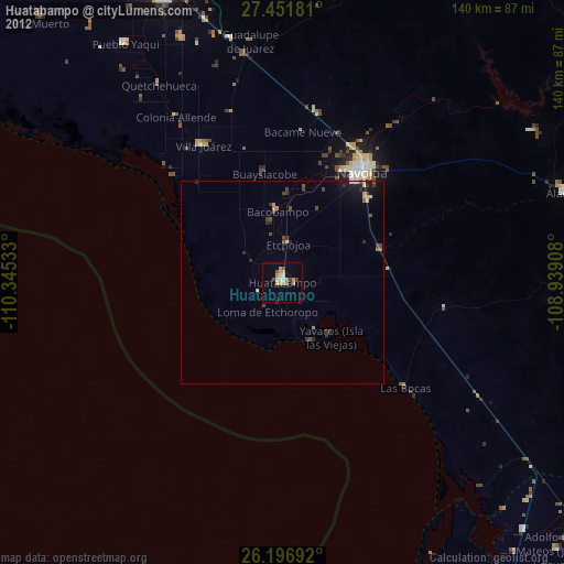
» Earth at Night: Flat Maps 2012, 2016