Las Choapas night lights from space
Night Light of Las Choapas (Veracruz) from space (Mexico) Src. Average luminocity for 10x10km area is 25.3766% and for 50x50km: 18.7591%.
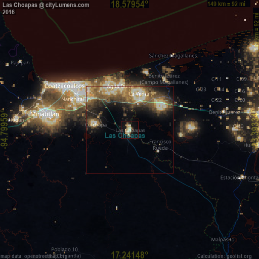
Analysis of Las Choapas night lights 2016
Square area 10x10 km:
 0.87%
0.87%90-99
4.11%80-89
8.01%70-79
3.46%60-69
3.03%50-59
1.3%40-49
1.95%30-39
4.98%20-29
1.95%10-19
20.13%0-9
50.22%Square area 50x50 km:
0.83%90-99
3.93%80-89
3.3%70-79
2.27%60-69
3.01%50-59
3.91%40-49
3.71%30-39
3.98%20-29
4.27%10-19
6.83%0-9
63.98%Clear (daylight) street map image can be seen on geolist.org.
Map coordinates:
18° 34' 46.3" North, 94° 47' 58.5" West
17° 54' 42.4" North, 94° 5' 47.3" West
17° 14' 29.3" North, 93° 23' 36" West
Some cities around Las Choapas sort by population:
• Coatzacoalcos
45.3 km =28.1 mi,  305°
305°
• Agua Dulce
25.8 km =16 mi,  348°
348°
• Nanchital de Lázaro Cárdenas del Río
37.4 km =23.2 mi,  298°
298°
• Allende
41.4 km =25.7 mi, 310°
• Ixhuatlán del Sureste
33.2 km =20.6 mi,  291°
291°
• Villa la Venta
21.5 km =13.4 mi,  14°
14°
• Mundo Nuevo
36.7 km =22.8 mi, 302°
• Cuichapa
19.6 km =12.2 mi,  278°
278°
3524903 (p: 42,693)
Sources (retrieved 2019-11-25):
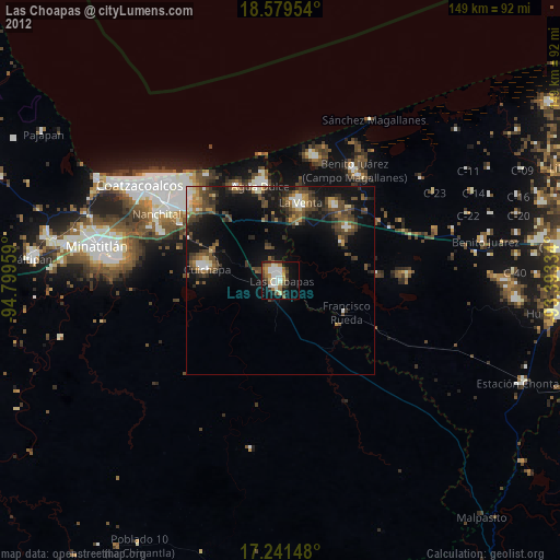
» Earth at Night: Flat Maps 2012, 2016