Cosamaloapan night lights from space
Night Light of Cosamaloapan (Veracruz) from space (Mexico) Src. Average luminocity for 10x10km area is 19.6467% and for 50x50km: 1.9538%.
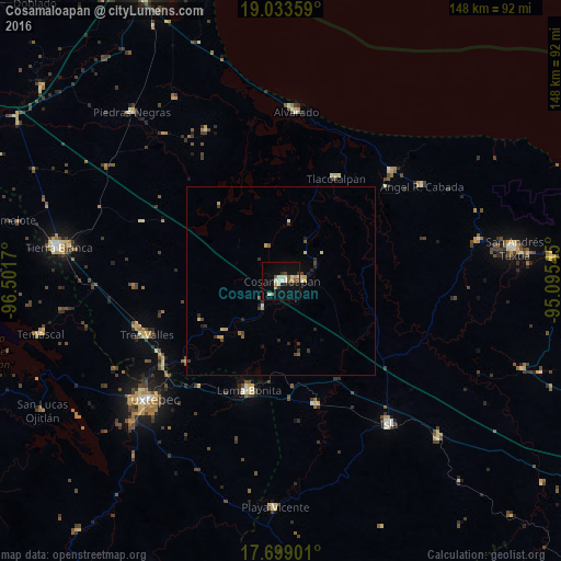
Analysis of Cosamaloapan night lights 2016
Square area 10x10 km:
 1.03%
1.03%90-99
5.99%80-89
2.27%70-79
1.86%60-69
2.07%50-59
3.31%40-49
0.83%30-39
1.65%20-29
1.24%10-19
12.81%0-9
66.94%Square area 50x50 km:
0.04%90-99
0.37%80-89
0.31%70-79
0.24%60-69
0.15%50-59
0.28%40-49
0.29%30-39
0.36%20-29
0.45%10-19
0.67%0-9
96.85%Clear (daylight) street map image can be seen on geolist.org.
Map coordinates:
19° 2' 0.9" North, 96° 30' 6.1" West
18° 22' 3.3" North, 95° 47' 54.9" West
17° 41' 56.4" North, 95° 5' 43.6" West
Some cities around Cosamaloapan sort by population:
• Loma Bonita
30.2 km =18.8 mi,  196°
196°
• Lerdo de Tejada
41.4 km =25.7 mi,  45°
45°
• Carlos A. Carrillo
4.7 km =2.9 mi,  80°
80°
• Tres Valles
38.3 km =23.8 mi,  248°
248°
• Ángel R. Cabada
45 km =28 mi,  55°
55°
• Tlacotalpan
31 km =19.3 mi,  28°
28°
• Tesechoacan
29.6 km =18.4 mi,  149°
149°
• Villa Azueta
33.9 km =21.1 mi,  164°
164°
3530177 (p: 30,577)
Sources (retrieved 2019-11-25):
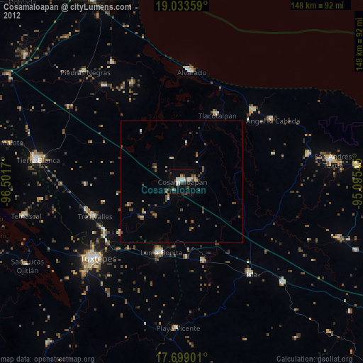
» Earth at Night: Flat Maps 2012, 2016