Emiliano Zapata night lights from space
Night Light of Emiliano Zapata (Morelos) from space (Mexico) Src. Average luminocity for 10x10km area is 71.9156% and for 50x50km: 32.1163%.
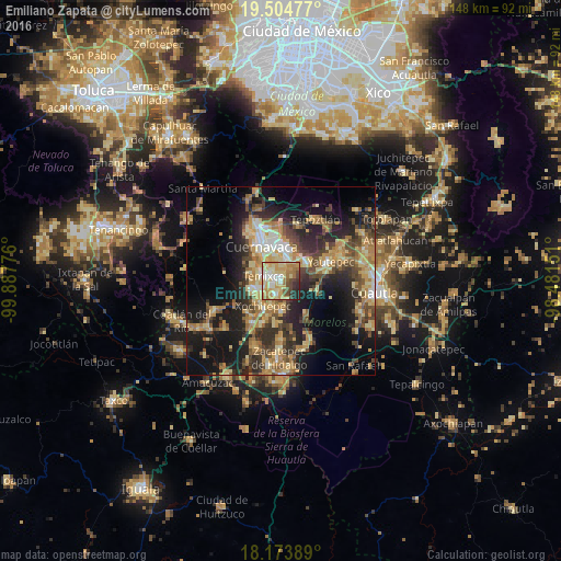
Analysis of Emiliano Zapata night lights 2016
Square area 10x10 km:
 6.49%
6.49%90-99
16.45%80-89
20.78%70-79
20.56%60-69
12.34%50-59
3.9%40-49
9.09%30-39
3.9%20-29
5.84%10-19
0.65%0-9
0%Square area 50x50 km:
1.51%90-99
3.53%80-89
6.89%70-79
6.29%60-69
6%50-59
3.79%40-49
6.9%30-39
5.21%20-29
9.94%10-19
16.99%0-9
32.95%Clear (daylight) street map image can be seen on geolist.org.
Map coordinates:
19° 30' 17.2" North, 99° 53' 15.9" West
18° 50' 26.3" North, 99° 11' 4.7" West
18° 10' 26" North, 98° 28' 53.4" West
Some cities around Emiliano Zapata sort by population:
• Jiutepec
4.6 km =2.9 mi,  9°
9°
• Temixco
4.5 km =2.8 mi,  287°
287°
• Xochitepec
8.2 km =5.1 mi,  215°
215°
• Tres de Mayo
4 km =2.5 mi,  321°
321°
• Progreso
5.5 km =3.4 mi,  37°
37°
• Independencia
7.7 km =4.8 mi,  58°
58°
• Chiconcuac
6.9 km =4.3 mi,  200°
200°
• Calera Chica
2 km =1.2 mi, 8°
3527879 (p: 49,193)
Sources (retrieved 2019-11-25):
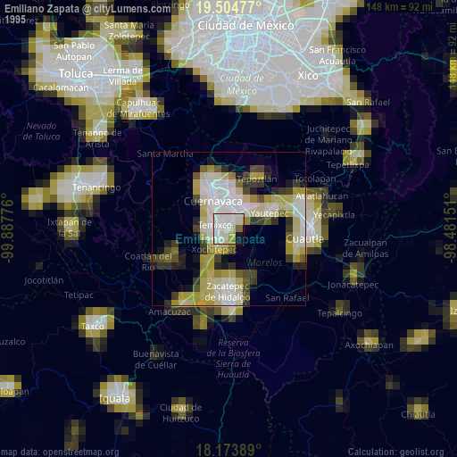
» NASA, Earths city lights 1995
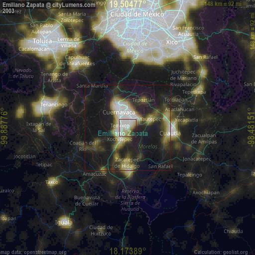
» NASA city lights 2003
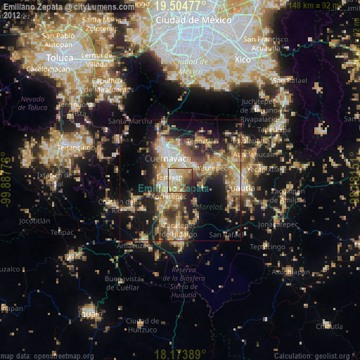
» Earth at Night: Flat Maps 2012, 2016