Iztapalapa night lights from space
Night Light of Iztapalapa (Mexico City) from space (Mexico) Src. Average luminocity for 10x10km area is 99.5062% and for 50x50km: 79.989%.
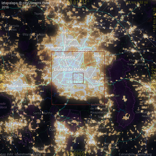
Analysis of Iztapalapa night lights 2016
Square area 10x10 km:
 86.98%
90-99
11.16%80-89
1.86%70-79
0%60-69
0%50-59
0%40-49
0%30-39
0%20-29
0%10-19
0%0-9
0%Square area 50x50 km:
41.79%90-99
14.44%80-89
11.09%70-79
9.91%60-69
5.4%50-59
1.84%40-49
2.04%30-39
1.25%20-29
2.96%10-19
4.2%0-9
5.08%Clear (daylight) street map image can be seen on geolist.org.
Map coordinates:
20° 1' 2.3" North, 99° 45' 55.3" West
19° 21' 19" North, 99° 3' 44.1" West
18° 41' 26.1" North, 98° 21' 32.8" West
Some cities around Iztapalapa sort by population:
• Ciudad Nezahualcoyotl
7.1 km =4.4 mi,  44°
44°
• Coyoacán
10.5 km =6.5 mi,  264°
264°
• Benito Juárez
10.1 km =6.3 mi,  281°
281°
• Iztacalco
5.8 km =3.6 mi,  320°
320°
• Tláhuac
9.7 km =6 mi,  141°
141°
• Los Reyes Acaquilpan
9 km =5.6 mi,  84°
84°
• Colonia Nativitas
8.3 km =5.2 mi,  290°
290°
• Emiliano Zapata
9.3 km =5.8 mi,  98°
98°
3526683 (p: 1,815,786)
Sources (retrieved 2019-11-25):
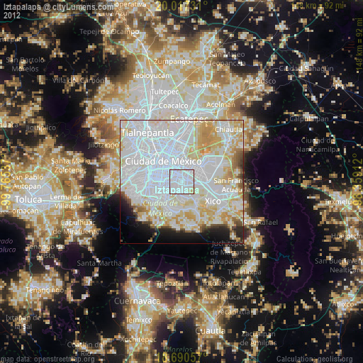
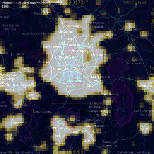
» NASA, Earths city lights 1995
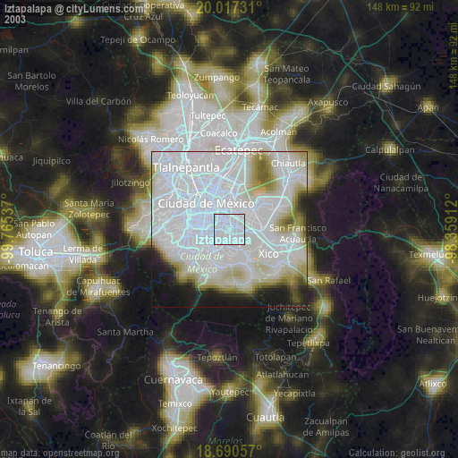
» NASA city lights 2003
» Earth at Night: Flat Maps 2012, 2016