Coyoacán night lights from space
Night Light of Coyoacán (Mexico City) from space (Mexico) Src. Average luminocity for 10x10km area is 100% and for 50x50km: 71.1668%.
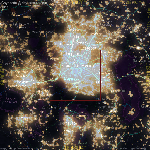
Analysis of Coyoacán night lights 2016
Square area 10x10 km:
 100%
100%90-99
0%80-89
0%70-79
0%60-69
0%50-59
0%40-49
0%30-39
0%20-29
0%10-19
0%0-9
0%Square area 50x50 km:
37.95%90-99
11.33%80-89
8.63%70-79
7.72%60-69
5.3%50-59
2.62%40-49
2.68%30-39
2.35%20-29
4.48%10-19
5.99%0-9
10.97%Clear (daylight) street map image can be seen on geolist.org.
Map coordinates:
20° 0' 31.5" North, 99° 51' 53.5" West
19° 20' 48.1" North, 99° 9' 42.3" West
18° 40' 55" North, 98° 27' 31" West
Some cities around Coyoacán sort by population:
• Álvaro Obregón
4.6 km =2.9 mi,  286°
286°
• Tlalpan
5.7 km =3.5 mi,  180°
180°
• Benito Juárez
2.9 km =1.8 mi,  10°
10°
• Iztacalco
8.6 km =5.3 mi,  51°
51°
• Benito Juarez
5.8 km =3.6 mi,  4°
4°
• Colonia del Valle
4.4 km =2.7 mi,  359°
359°
• Magdalena Contreras
5.4 km =3.4 mi,  252°
252°
• Colonia Nativitas
4.6 km =2.9 mi,  34°
34°
3530139 (p: 620,416)
Sources (retrieved 2019-11-25):
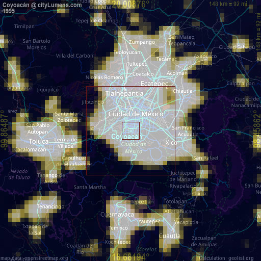
» NASA, Earths city lights 1995
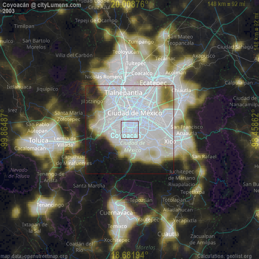
» NASA city lights 2003
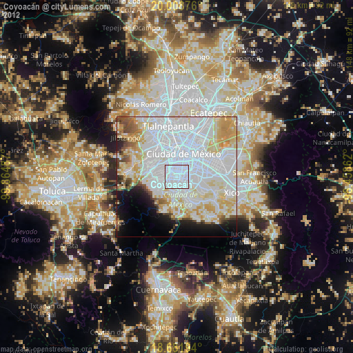
» Earth at Night: Flat Maps 2012, 2016