Los Reyes Acaquilpan night lights from space
Night Light of Los Reyes Acaquilpan (México) from space (Mexico) Src. Average luminocity for 10x10km area is 98.7231% and for 50x50km: 75.4579%.
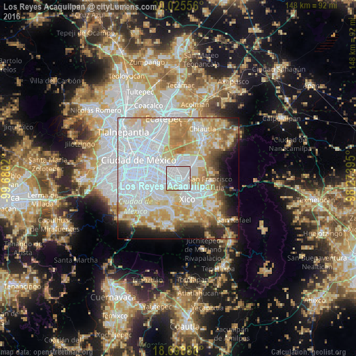

Analysis of Los Reyes Acaquilpan night lights 2016
Square area 10x10 km:
 66.32%
90-99
30.37%80-89
3.31%70-79
0%60-69
0%50-59
0%40-49
0%30-39
0%20-29
0%10-19
0%0-9
0%Square area 50x50 km:
34.71%90-99
12.73%80-89
12.28%70-79
10.3%60-69
6.32%50-59
2.97%40-49
3.4%30-39
2.55%20-29
4.82%10-19
5.87%0-9
4.05%Clear (daylight) street map image can be seen on geolist.org.
Map coordinates:
20° 1' 32" North, 99° 40' 48.7" West
19° 21' 48.9" North, 98° 58' 37.5" West
18° 41' 56" North, 98° 16' 26.2" West
Some cities around Los Reyes Acaquilpan sort by population:
• San Isidro
3.8 km =2.4 mi,  133°
133°
• Magdalena Atlicpac
3 km =1.9 mi,  78°
78°
• Emiliano Zapata
2.2 km =1.4 mi,  173°
173°
• San Sebastián Chimalpa
3.1 km =1.9 mi,  49°
49°
• El Pino
3.3 km =2.1 mi,  114°
114°
• Tecamachalco
1.9 km =1.2 mi,  102°
102°
• Arenal
4.1 km =2.5 mi,  61°
61°
• Lomas de Altavista
3.4 km =2.1 mi,  94°
94°
3523908 (p: 85,359)
Sources (retrieved 2019-11-25):
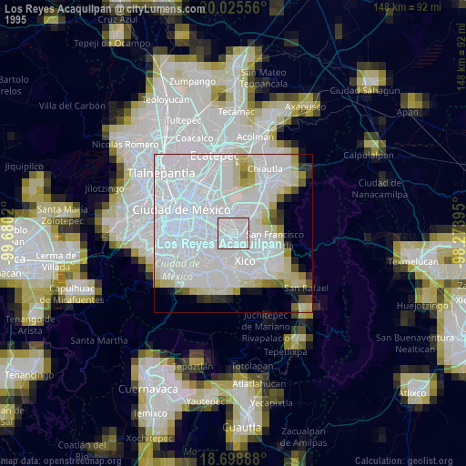
» NASA, Earths city lights 1995
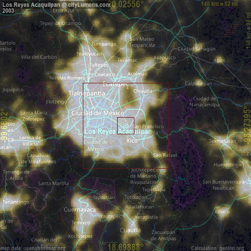
» NASA city lights 2003
» Earth at Night: Flat Maps 2012, 2016