Heroica Ciudad de Tlaxiaco night lights from space
Night Light of Heroica Ciudad de Tlaxiaco (Oaxaca) from space (Mexico) Src. Average luminocity for 10x10km area is 17.7707% and for 50x50km: 1.1657%.
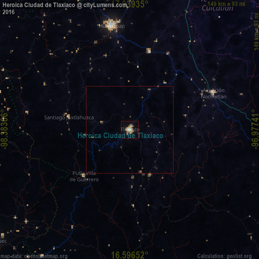
Analysis of Heroica Ciudad de Tlaxiaco night lights 2016
Square area 10x10 km:
 0.62%
0.62%90-99
1.45%80-89
3.1%70-79
2.48%60-69
5.37%50-59
4.34%40-49
3.31%30-39
0%20-29
0.83%10-19
2.27%0-9
76.24%Square area 50x50 km:
0.02%90-99
0.06%80-89
0.12%70-79
0.13%60-69
0.22%50-59
0.28%40-49
0.37%30-39
0.35%20-29
0.15%10-19
0.2%0-9
98.09%Clear (daylight) street map image can be seen on geolist.org.
Map coordinates:
17° 56' 21.7" North, 98° 23' 1.2" West
17° 16' 9" North, 97° 40' 49.9" West
16° 35' 47.5" North, 96° 58' 38.7" West
Some cities around Heroica Ciudad de Tlaxiaco sort by population:
• Ciudad de Huajuapan de León
60.8 km =37.8 mi,  350°
350°
• Asunción Nochixtlán
52.7 km =32.7 mi,  66°
66°
• Putla Villa de Guerrero
37.7 km =23.4 mi,  224°
224°
• San Francisco Telixtlahuaca
82.4 km =51.2 mi,  87°
87°
• Santiago Juxtlahuaca
35.9 km =22.3 mi,  281°
281°
• Santiago Suchilquitongo
85.2 km =52.9 mi, 91°
• San Pablo Huitzo
84.3 km =52.4 mi, 89°
• Tamazulapam Villa del Progreso
46.8 km =29.1 mi,  14°
14°
3517285 (p: 17,543)
Sources (retrieved 2019-11-25):
» Earth at Night: Flat Maps 2012, 2016