Fuentes del Valle night lights from space
Night Light of Fuentes del Valle (México) from space (Mexico) Src. Average luminocity for 10x10km area is 95.155% and for 50x50km: 79.0967%.
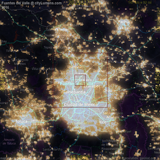

Analysis of Fuentes del Valle night lights 2016
Square area 10x10 km:
 48.35%
90-99
27.07%80-89
18.8%70-79
5.79%60-69
0%50-59
0%40-49
0%30-39
0%20-29
0%10-19
0%0-9
0%Square area 50x50 km:
31.79%90-99
15.3%80-89
12.27%70-79
12.22%60-69
9.65%50-59
5.8%40-49
3.59%30-39
2.85%20-29
2.25%10-19
2.05%0-9
2.23%Clear (daylight) street map image can be seen on geolist.org.
Map coordinates:
20° 17' 36.1" North, 99° 50' 30.3" West
19° 37' 57" North, 99° 8' 19" West
18° 58' 8" North, 98° 26' 7.8" West
Some cities around Fuentes del Valle sort by population:
• Coacalco
3.3 km =2.1 mi,  96°
96°
• Buenavista
4.2 km =2.6 mi,  230°
230°
• San Pablo de las Salinas
6 km =3.7 mi,  50°
50°
• Cuautitlán
6 km =3.7 mi,  314°
314°
• Tultepec
5.9 km =3.7 mi,  10°
10°
• Santiago Teyahualco
3.4 km =2.1 mi,  25°
25°
• Tultitlán de Mariano Escobedo
3.4 km =2.1 mi,  297°
297°
• Ampliación San Mateo (Colonia Solidaridad)
2 km =1.2 mi,  206°
206°
8858086 (p: 74,087)
Sources (retrieved 2019-11-25):
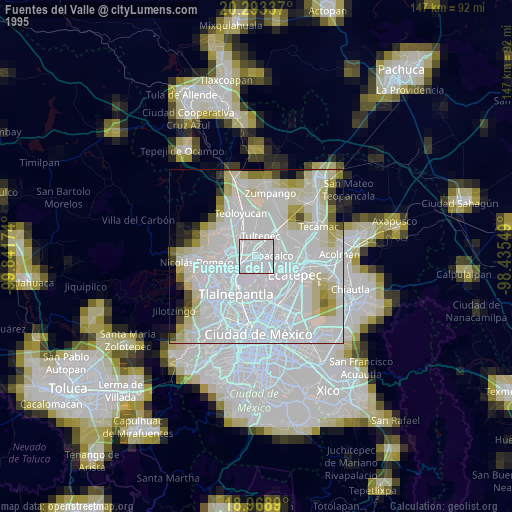
» NASA, Earths city lights 1995
» NASA city lights 2003
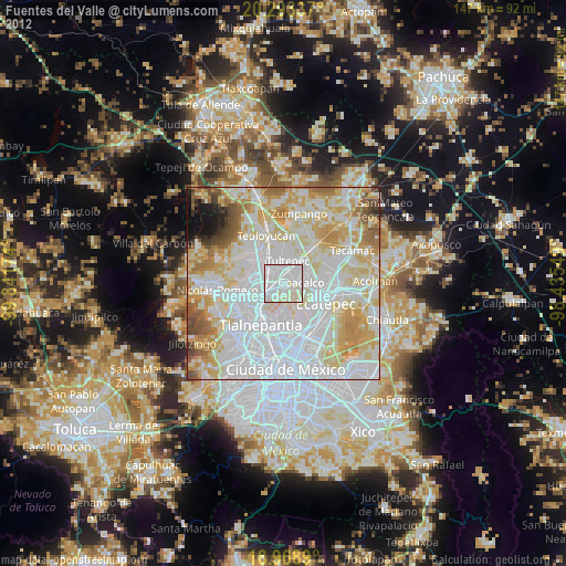
» Earth at Night: Flat Maps 2012, 2016