Cuautitlán night lights from space
Night Light of Cuautitlán (México) from space (Mexico) Src. Average luminocity for 10x10km area is 99.0331% and for 50x50km: 71.4733%.
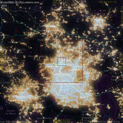
Analysis of Cuautitlán night lights 2016
Square area 10x10 km:
 65.08%
90-99
32.02%80-89
2.89%70-79
0%60-69
0%50-59
0%40-49
0%30-39
0%20-29
0%10-19
0%0-9
0%Square area 50x50 km:
26.28%90-99
12.97%80-89
11.15%70-79
11.04%60-69
9.97%50-59
5.69%40-49
4%30-39
4.37%20-29
5%10-19
4.39%0-9
5.13%Clear (daylight) street map image can be seen on geolist.org.
Map coordinates:
20° 19' 52.4" North, 99° 52' 58.9" West
19° 40' 13.9" North, 99° 10' 47.6" West
19° 0' 25.5" North, 98° 28' 36.4" West
Some cities around Cuautitlán sort by population:
• Fuentes del Valle
6 km =3.7 mi,  134°
134°
• Tultepec
5.7 km =3.5 mi,  73°
73°
• Santiago Teyahualco
5.9 km =3.7 mi,  101°
101°
• Melchor Ocampo
5.1 km =3.2 mi,  46°
46°
• Tultitlán de Mariano Escobedo
2.9 km =1.8 mi,  154°
154°
• Ampliación San Mateo (Colonia Solidaridad)
6.9 km =4.3 mi, 150°
• San Bartolo
7 km =4.3 mi,  17°
17°
• San Mateo Ixtacalco
3.3 km =2.1 mi, 15°
3529986 (p: 108,449)
Sources (retrieved 2019-11-25):
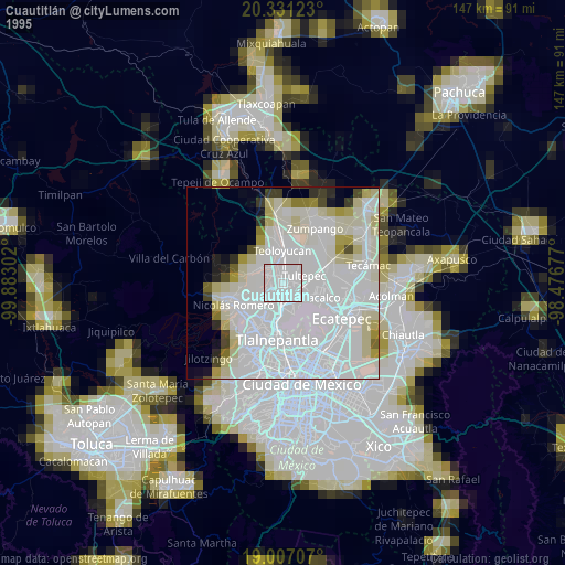
» NASA, Earths city lights 1995
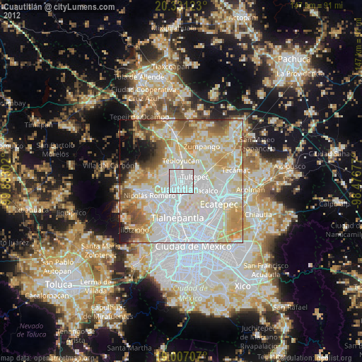
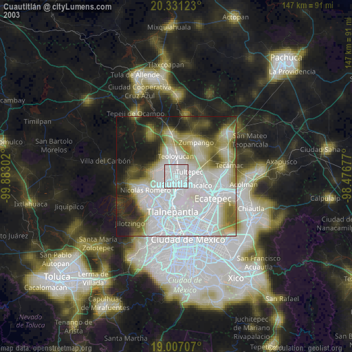
» NASA city lights 2003
» Earth at Night: Flat Maps 2012, 2016