Buenavista night lights from space
Night Light of Buenavista (México) from space (Mexico) Src. Average luminocity for 10x10km area is 96.1798% and for 50x50km: 77.9227%.
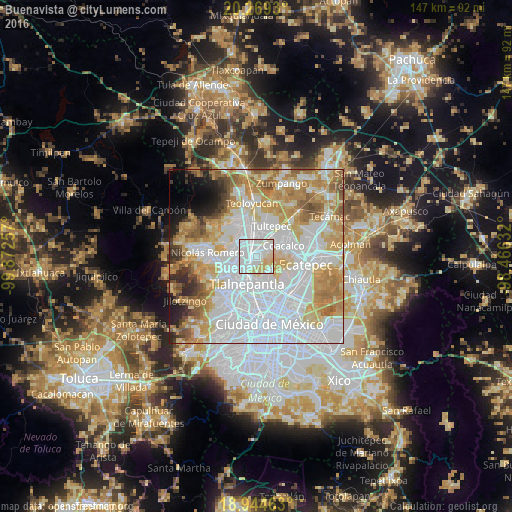

Analysis of Buenavista night lights 2016
Square area 10x10 km:
 58.06%
90-99
21.49%80-89
19.21%70-79
1.24%60-69
0%50-59
0%40-49
0%30-39
0%20-29
0%10-19
0%0-9
0%Square area 50x50 km:
33.85%90-99
14.26%80-89
11.34%70-79
11.24%60-69
9.25%50-59
5.15%40-49
2.96%30-39
2.23%20-29
3.15%10-19
2.83%0-9
3.74%Clear (daylight) street map image can be seen on geolist.org.
Map coordinates:
20° 16' 9.5" North, 99° 52' 21.3" West
19° 36' 30" North, 99° 10' 10" West
18° 56' 40.7" North, 98° 27' 58.8" West
Some cities around Buenavista sort by population:
• Tlalnepantla
8.1 km =5 mi,  199°
199°
• Cuautitlán Izcalli
6.3 km =3.9 mi,  309°
309°
• Coacalco
7 km =4.3 mi,  70°
70°
• Cuautitlán
7 km =4.3 mi,  351°
351°
• Fuentes del Valle
4.2 km =2.6 mi,  50°
50°
• Santiago Teyahualco
7.4 km =4.6 mi,  39°
39°
• Tultitlán de Mariano Escobedo
4.3 km =2.7 mi,  2°
2°
• Ampliación San Mateo (Colonia Solidaridad)
2.5 km =1.6 mi, 68°
3827606 (p: 206,081)
Sources (retrieved 2019-11-25):
» NASA, Earths city lights 1995
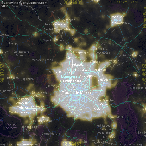
» NASA city lights 2003
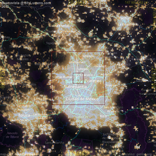
» Earth at Night: Flat Maps 2012, 2016