Coacalco night lights from space
Night Light of Coacalco (México) from space (Mexico) Src. Average luminocity for 10x10km area is 93.7025% and for 50x50km: 81.0834%.
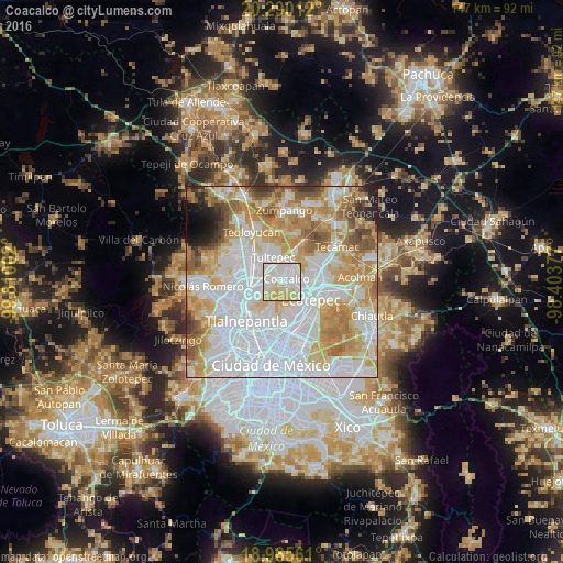
Analysis of Coacalco night lights 2016
Square area 10x10 km:
 42.15%
90-99
24.79%80-89
26.86%70-79
6.2%60-69
0%50-59
0%40-49
0%30-39
0%20-29
0%10-19
0%0-9
0%Square area 50x50 km:
32.81%90-99
16.25%80-89
12.6%70-79
12.83%60-69
9.48%50-59
5.63%40-49
3.35%30-39
2.23%20-29
1.92%10-19
1.95%0-9
0.97%Clear (daylight) street map image can be seen on geolist.org.
Map coordinates:
20° 17' 24.4" North, 99° 48' 36.1" West
19° 37' 45.2" North, 99° 6' 24.8" West
18° 57' 56.2" North, 98° 24' 13.6" West
Some cities around Coacalco sort by population:
• Ecatepec de Morelos
5.5 km =3.4 mi,  119°
119°
• San Pablo de las Salinas
4.3 km =2.7 mi,  16°
16°
• Fuentes del Valle
3.3 km =2.1 mi,  276°
276°
• Tultepec
6.6 km =4.1 mi,  340°
340°
• Santiago Teyahualco
3.9 km =2.4 mi,  330°
330°
• Tultitlán de Mariano Escobedo
6.7 km =4.2 mi,  286°
286°
• Ampliación San Mateo (Colonia Solidaridad)
4.5 km =2.8 mi,  251°
251°
• Alborada Jaltenco
5.4 km =3.4 mi,  47°
47°
3530569 (p: 277,959)
Sources (retrieved 2019-11-25):
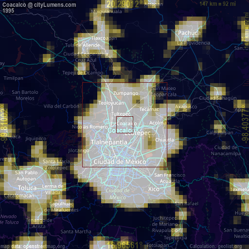
» NASA, Earths city lights 1995
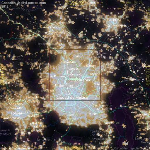
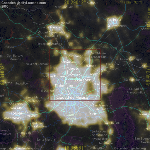
» NASA city lights 2003
» Earth at Night: Flat Maps 2012, 2016