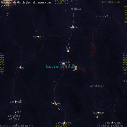
Nacozari de García night lights from space
Night Light of Nacozari de García (Sonora) from space (Mexico) Src. Average luminocity for 10x10km area is 6.5147% and for 50x50km: 0.9789%.
Analysis of Nacozari de García night lights 2016
Square area 10x10 km:
 0.55%
0.55%90-99
0.92%80-89
0%70-79
3.66%60-69
1.47%50-59
0%40-49
0%30-39
0%20-29
0.73%10-19
0%0-9
92.67%Square area 50x50 km:
0.04%90-99
0.05%80-89
0.03%70-79
0.36%60-69
0.21%50-59
0.11%40-49
0.21%30-39
0.24%20-29
0.14%10-19
0%0-9
98.61%Clear (daylight) street map image can be seen on geolist.org.
Map coordinates:
30° 58' 46.6" North, 110° 23' 31.6" West
30° 22' 29.6" North, 109° 41' 20.3" West
29° 45' 59" North, 108° 59' 9.1" West
Some cities around Nacozari de García sort by population:
• Agua Prieta
107.1 km =66.5 mi,  7°
7°
• Cananea
89.1 km =55.4 mi,  319°
319°
• Magdalena de Kino
125.2 km =77.8 mi,  282°
282°
• Douglas, US
108.7 km =67.5 mi, 7°
• Imuris
120 km =74.6 mi,  292°
292°
• Esqueda
40 km =24.9 mi, 13°
• Naco
108.7 km =67.5 mi,  346°
346°
• Bisbee, US
121.5 km =75.5 mi, 349°
3995157 (p: 11,489)
Sources (retrieved 2019-11-25):
» Earth at Night: Flat Maps 2012, 2016