Mazatlán night lights from space
Night Light of Mazatlán (Sinaloa) from space (Mexico) Src. Average luminocity for 10x10km area is 79.1913% and for 50x50km: 7.9401%.
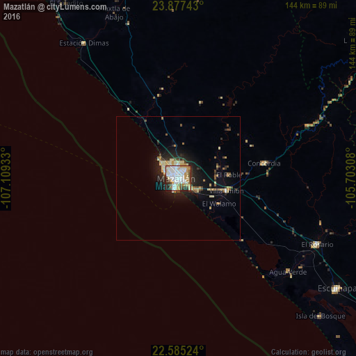
Analysis of Mazatlán night lights 2016
Square area 10x10 km:
 27.27%
90-99
24.43%80-89
10.23%70-79
13.07%60-69
2.46%50-59
3.41%40-49
6.25%30-39
4.17%20-29
7.58%10-19
1.14%0-9
0%Square area 50x50 km:
1.23%90-99
1.41%80-89
1.29%70-79
1.18%60-69
0.53%50-59
0.61%40-49
0.97%30-39
0.95%20-29
2.28%10-19
4.87%0-9
84.67%Clear (daylight) street map image can be seen on geolist.org.
Map coordinates:
23° 52' 38.7" North, 107° 6' 33.6" West
23° 13' 58.4" North, 106° 24' 22.3" West
22° 35' 6.9" North, 105° 42' 11.1" West
Some cities around Mazatlán sort by population:
• Escuinapa
78.2 km =48.6 mi,  124°
124°
• Pueblo Nuevo
105.7 km =65.7 mi,  81°
81°
• El Rosario
62.2 km =38.6 mi, 115°
• La Cruz
91.2 km =56.7 mi,  327°
327°
• Villa Unión
19.7 km =12.2 mi,  104°
104°
• Concordia
35.5 km =22.1 mi, 80°
• Fraccionamiento los Ángeles
9.2 km =5.7 mi, 122°
• Isla del Bosque
79.9 km =49.6 mi,  134°
134°
3996322 (p: 381,583)
Sources (retrieved 2019-11-25):
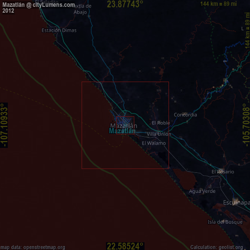
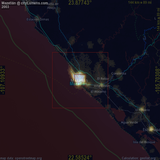
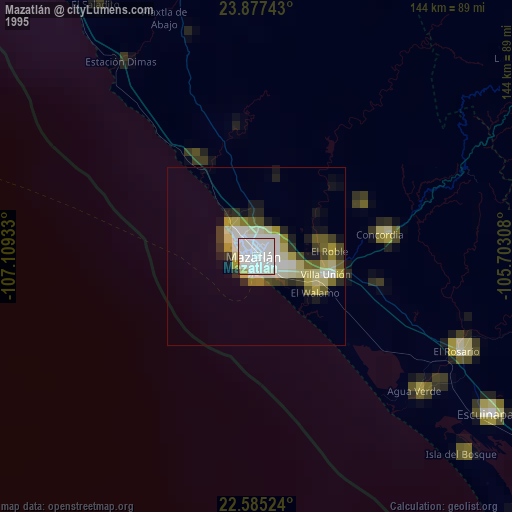
» NASA, Earths city lights 1995
» NASA city lights 2003
» Earth at Night: Flat Maps 2012, 2016