Cuauhtémoc night lights from space
Night Light of Cuauhtémoc (Chihuahua) from space (Mexico) Src. Average luminocity for 10x10km area is 61.3194% and for 50x50km: 5.4691%.
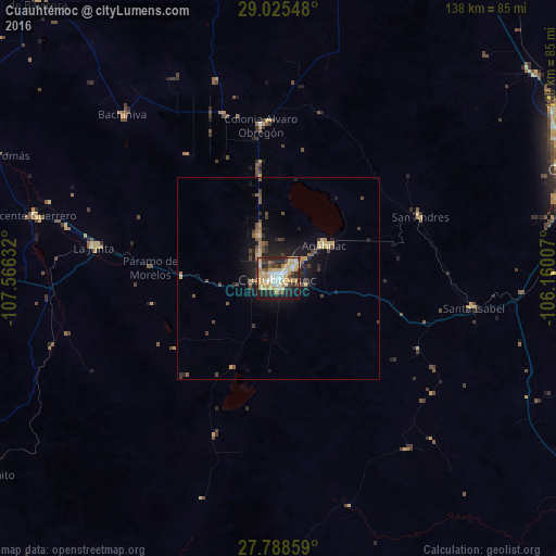
Analysis of Cuauhtémoc night lights 2016
Square area 10x10 km:
 7.94%
7.94%90-99
11.11%80-89
19.05%70-79
17.26%60-69
2.18%50-59
3.77%40-49
6.15%30-39
6.35%20-29
14.68%10-19
11.51%0-9
0%Square area 50x50 km:
0.31%90-99
0.44%80-89
1.31%70-79
0.97%60-69
0.36%50-59
0.69%40-49
1.09%30-39
0.74%20-29
1.76%10-19
4.41%0-9
87.91%Clear (daylight) street map image can be seen on geolist.org.
Map coordinates:
29° 1' 31.7" North, 107° 33' 58.8" West
28° 24' 31.8" North, 106° 51' 47.5" West
27° 47' 18.9" North, 106° 9' 36.3" West
Some cities around Cuauhtémoc sort by population:
• Chihuahua
79.7 km =49.5 mi,  71°
71°
• San Juanito
87.1 km =54.1 mi,  236°
236°
• Anáhuac
14.1 km =8.8 mi,  53°
53°
• La Junta
46.3 km =28.8 mi,  279°
279°
• Adolfo López Mateos
43.2 km =26.8 mi, 278°
• Guerrero
62.6 km =38.9 mi, 284°
• Santa Eulalia
97.5 km =60.6 mi,  77°
77°
• Valentín Gómez Farías
34.7 km =21.6 mi,  127°
127°
4012406 (p: 114,007)
Sources (retrieved 2019-11-25):
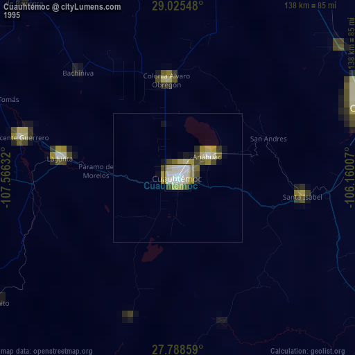
» NASA, Earths city lights 1995
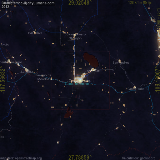
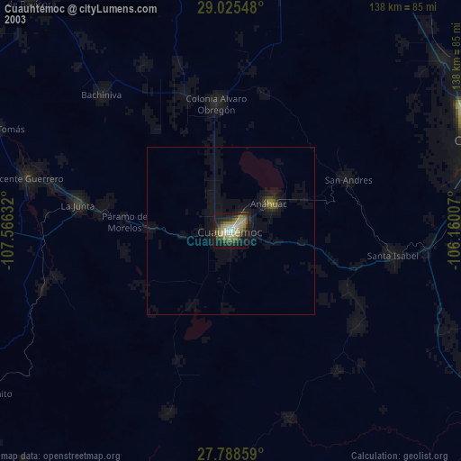
» NASA city lights 2003
» Earth at Night: Flat Maps 2012, 2016