Guerrero night lights from space
Night Light of Guerrero (Chihuahua) from space (Mexico) Src. Average luminocity for 10x10km area is 8.9981% and for 50x50km: 1.1456%.
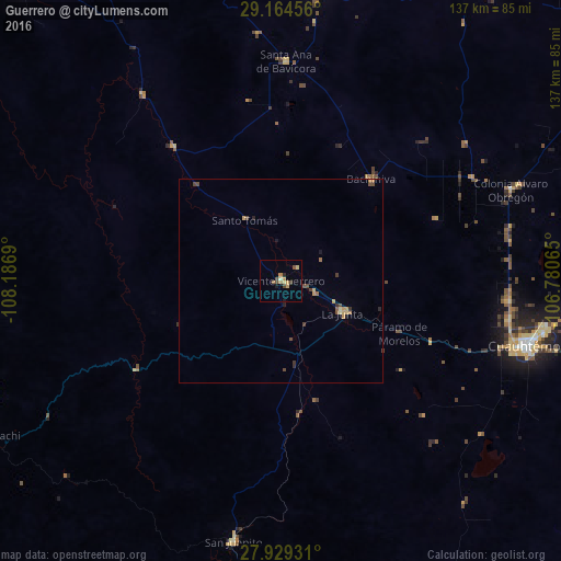
Analysis of Guerrero night lights 2016
Square area 10x10 km:
 0%
0%90-99
0.38%80-89
2.08%70-79
2.65%60-69
1.14%50-59
1.14%40-49
3.22%30-39
0%20-29
0.76%10-19
1.14%0-9
87.5%Square area 50x50 km:
0%90-99
0.01%80-89
0.19%70-79
0.37%60-69
0.13%50-59
0.11%40-49
0.46%30-39
0.2%20-29
0.1%10-19
0.18%0-9
98.24%Clear (daylight) street map image can be seen on geolist.org.
Map coordinates:
29° 9' 52.4" North, 108° 11' 12.8" West
28° 32' 55.5" North, 107° 29' 1.6" West
27° 55' 45.5" North, 106° 46' 50.3" West
Some cities around Guerrero sort by population:
• Cuauhtémoc
62.6 km =38.9 mi,  104°
104°
• San Juanito
65.1 km =40.5 mi,  190°
190°
• Anáhuac
72.3 km =44.9 mi, 95°
• La Junta
16.9 km =10.5 mi,  116°
116°
• Adolfo López Mateos
20.1 km =12.5 mi, 116°
• Valentín Gómez Farías
95.5 km =59.3 mi,  112°
112°
• Gómez Farías
93.6 km =58.2 mi,  344°
344°
• Creel
90 km =55.9 mi, 189°
4013716 (p: 7,751)
Sources (retrieved 2019-11-25):
» Earth at Night: Flat Maps 2012, 2016