San Juanito night lights from space
Night Light of San Juanito (Chihuahua) from space (Mexico) Src. Average luminocity for 10x10km area is 7.5455% and for 50x50km: 0.5809%.
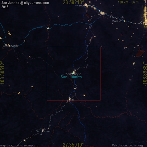
Analysis of San Juanito night lights 2016
Square area 10x10 km:
 0%
0%90-99
0.19%80-89
2.08%70-79
3.03%60-69
0.76%50-59
0.57%40-49
0.95%30-39
0.76%20-29
0.76%10-19
2.27%0-9
88.64%Square area 50x50 km:
0%90-99
0.01%80-89
0.24%70-79
0.18%60-69
0.06%50-59
0.02%40-49
0.13%30-39
0.03%20-29
0.06%10-19
0.09%0-9
99.18%Clear (daylight) street map image can be seen on geolist.org.
Map coordinates:
28° 35' 31.7" North, 108° 18' 18.4" West
27° 58' 22.6" North, 107° 36' 7.2" West
27° 21' 0.7" North, 106° 53' 55.9" West
Some cities around San Juanito sort by population:
• Cuauhtémoc
87.1 km =54.1 mi,  56°
56°
• Guachochi
138.4 km =86 mi,  157°
157°
• Anáhuac
101.2 km =62.9 mi, 55°
• La Junta
62.4 km =38.8 mi,  25°
25°
• Adolfo López Mateos
62.4 km =38.8 mi, 28°
• Guerrero
65.1 km =40.5 mi,  10°
10°
• Valentín Gómez Farías
103.5 km =64.3 mi,  74°
74°
• Creel
24.9 km =15.5 mi,  187°
187°
3985819 (p: 10,535)
Sources (retrieved 2019-11-25):
» Earth at Night: Flat Maps 2012, 2016